
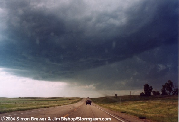
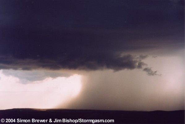
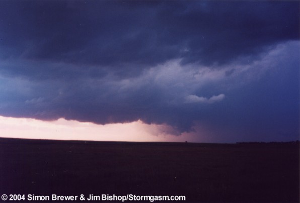
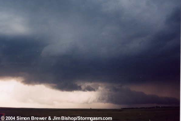
Large wall cloud


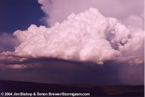
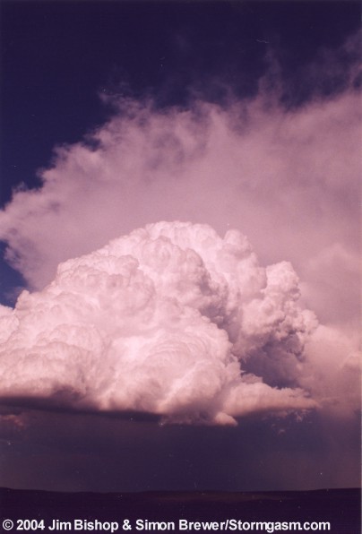
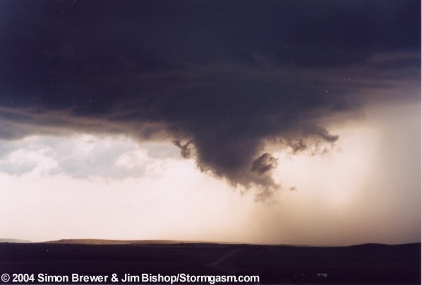
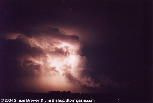
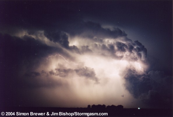
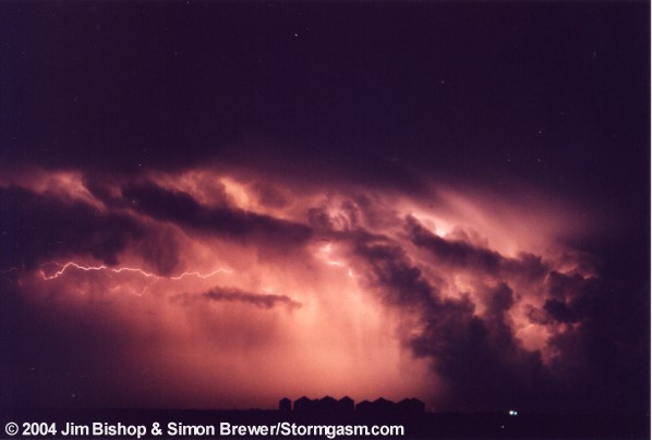
Amazing supercell


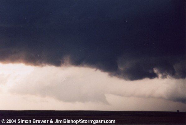
Wall cloud just before being cut off by outflow
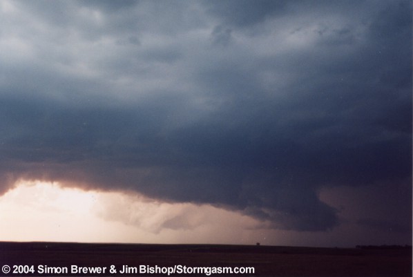
Supercell being undercut and killed
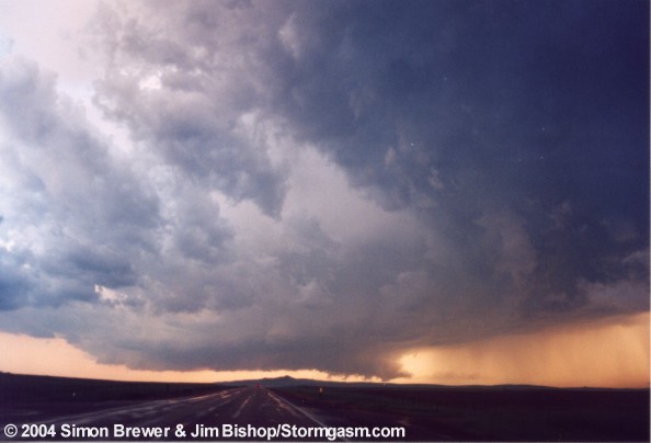
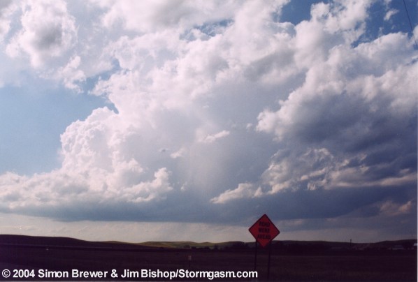
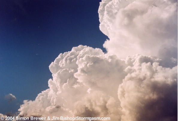
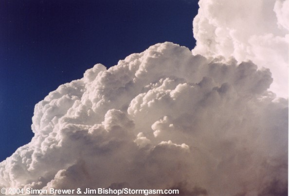
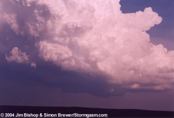
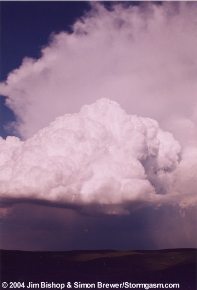
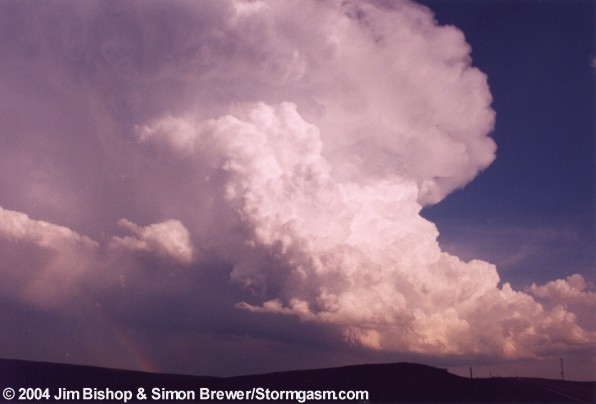
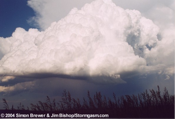
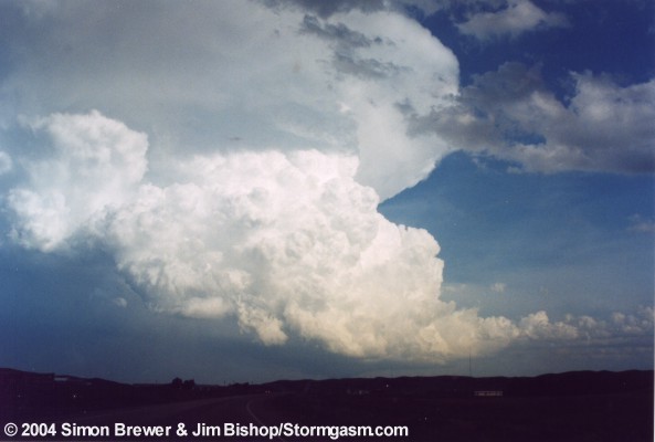
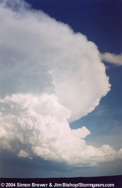
June 11, 2003 Pierre, South Dakota Supercells
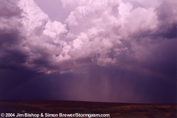
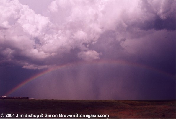
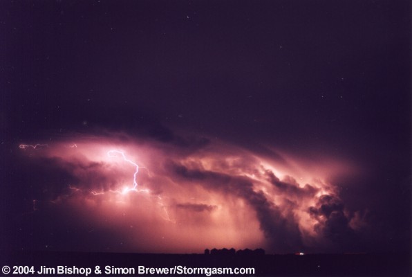
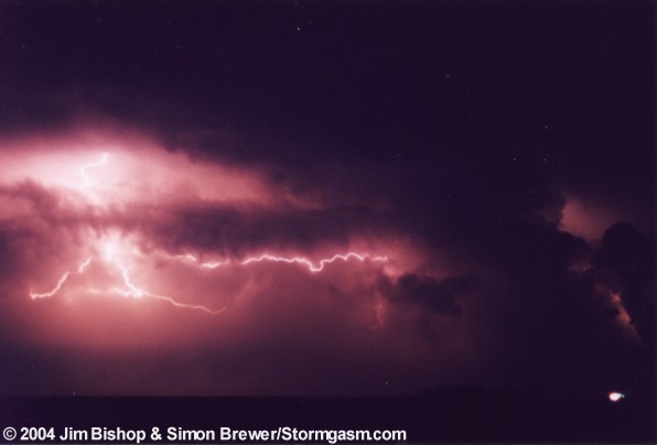
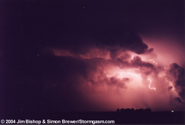
| Simon and I (Jim) had a great chase day in the Pierre, South Dakota area. Gorgeous supercells exploded into the air after 6 pm. We did not see any tornadoes. The last supercell we saw before dark came as close as it can get to producing a tornado without actually doing it! This was followed by just about the best strobe light lighting show I've ever seen. Expect a full chase summary later... |
|
|
|
|
|
|
|
|
|
Large wall cloud |
|
|
|
|
Amazing supercell |
|
|
|
|
|
|
|
|
|
|
|
|
|
|
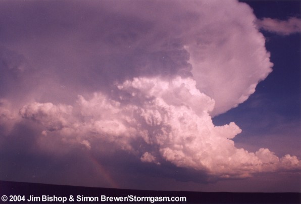
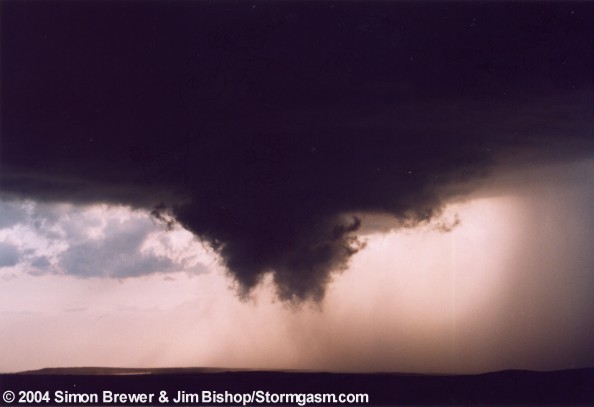
Wall cloud just before being cut off by outflow |
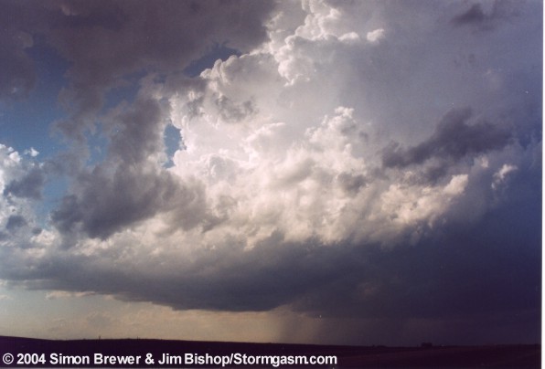
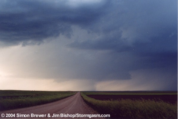
Supercell being undercut and killed |
|
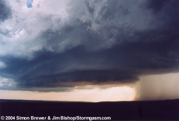
| Below are several pictures taken of the rear flank downdraft partially occluding the low level mesocyclone. The lowered cloud base in the back is the wall cloud. You can even see a funnel cloud coming out of it in one of the photos. This particular funnel had rapid rotation associated with it, and came so close to touching the ground before quickly lifting even I couldn't believe it did not touch down!! I consider this storm the biggest tornado teaser I've ever encountered. |
 |
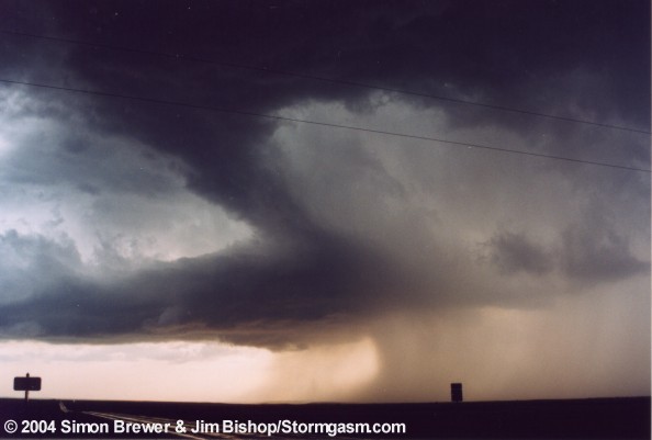
 The tornado teaser |
 |
 |
 Beaver's tail on right half of photo |
 |
 |
 |
 |
 |
 |
 |
 |
 |
All
storm chasing (tornado, supercell, lightning, hail, sunset, ect.) photos and
videos are copyright property of Jim Bishop and Simon Brewer (Stormgasm), unless
otherwise specified. Any unauthorized reproductions are strictly prohibited
by law.
Copyright 2004 Stormgasm.com. All rights reserved.