![]()
|
I (Simon) woke up
that afternoon expecting a good chase day. I was so tired I could not
make out any shapes or colors when I looked outside. So I checked the
satellite, which was much easier on my eyes. I saw a line of developing
towers west and along the I-35 Corridor. I grabbed my camera equipment
and my
|
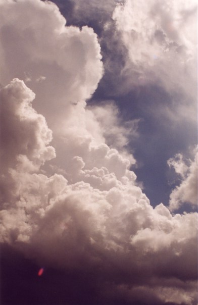
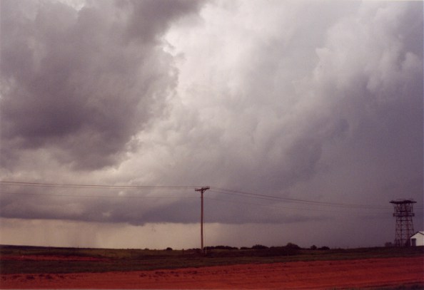
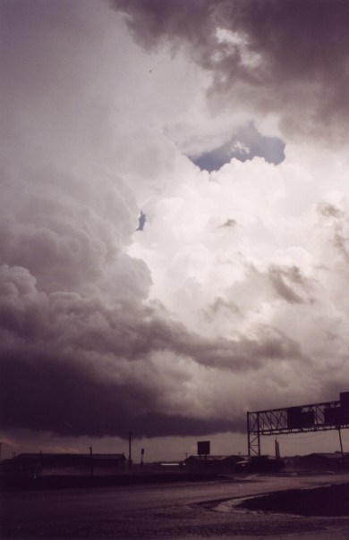
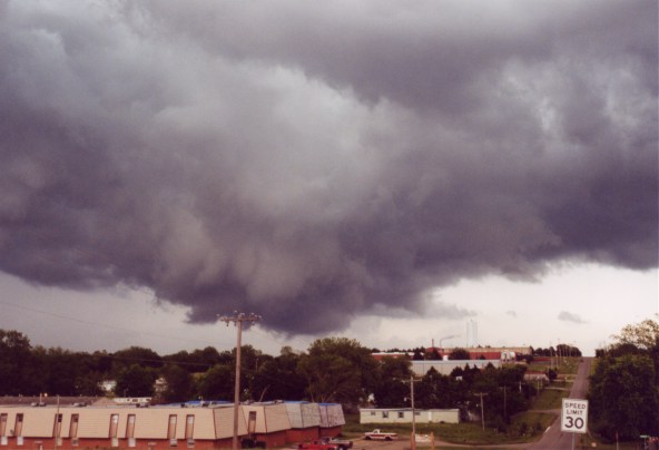
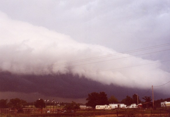
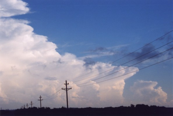
Developing Towers |
||||
|
|
|
||||

|
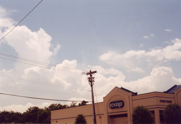
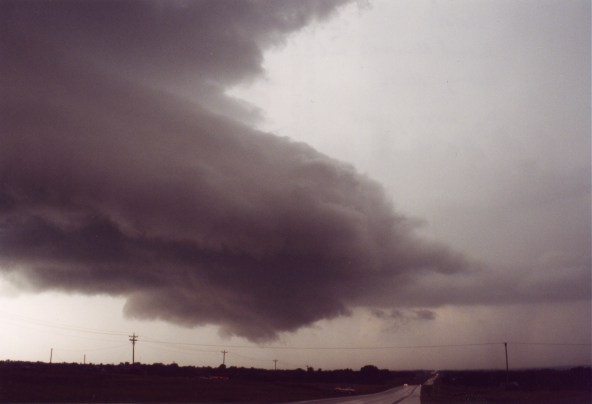
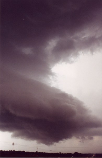
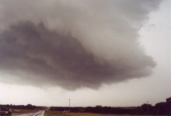
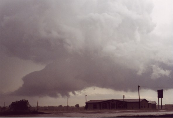
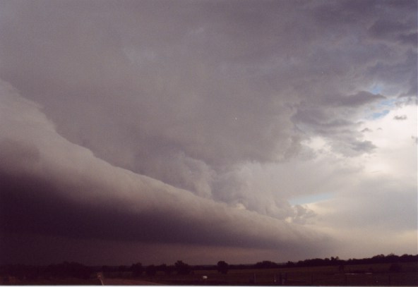
While pumping gas I saw a supercell develop well to the north of OKC (around the Guthrie, OK area). I drove east of Norman to get a better view of the line of towers and supercell to the north. A tower to the west of Newcastle began to make an anvil, so I raced to that cell. I stopped just south of Newcastle on 62. The supercell had an impressive beaver's tail and a small, but nice rotating wall cloud. At times a funnel cloud would form, but then dissipate. This supercell turned to the southeast and weakened.
|
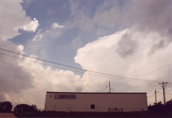
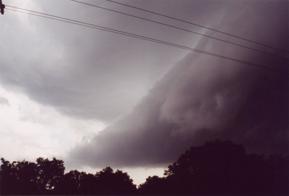
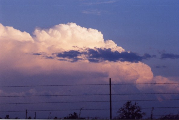
NewCastle Supercell & Wall Cloud |
||||
|
|
|
||||
|
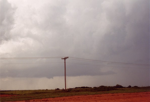
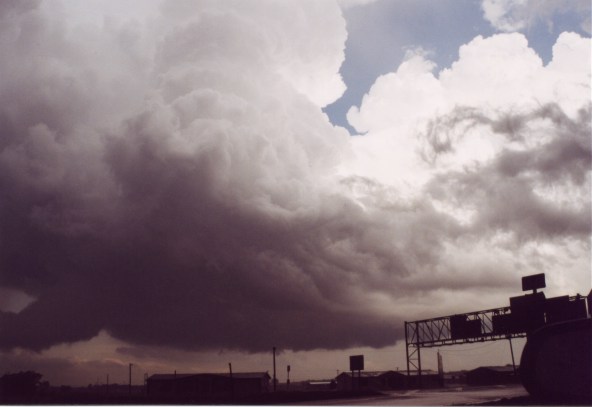
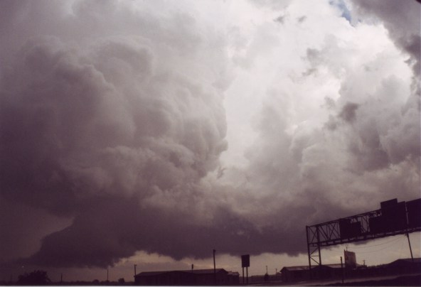
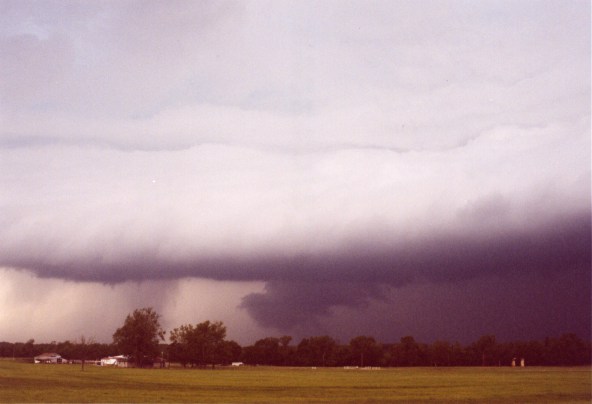
We watched another
supercell develop to the south of our location. It moved ENE over Noble
and then began to back build along its flanking line. We placed ourselves
in the RFD clear slot of the Noble supercell just north of the town
of Goldsby, OK. From this location we watched the supercell back build.
A new meso would take over leaving the old, and still rapidly rotating
wall cloud, suspended with no updraft over head. A mob of chasers in
a traffic jam on Highway 9 thought the meso had become rain wrapped.
So many of them went home. While watching the Nobel supercell the Newcastle
supercell had pulsated
|
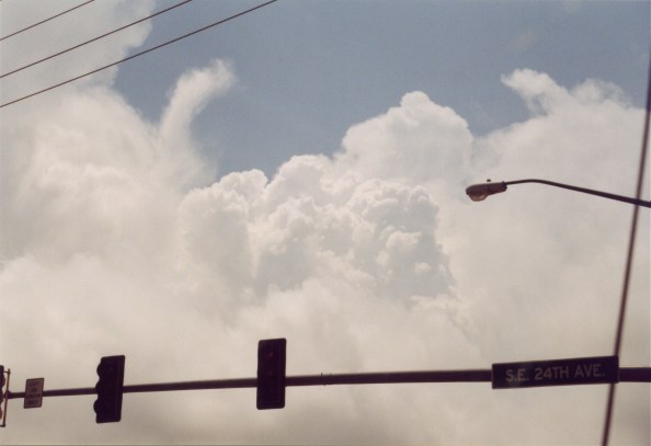
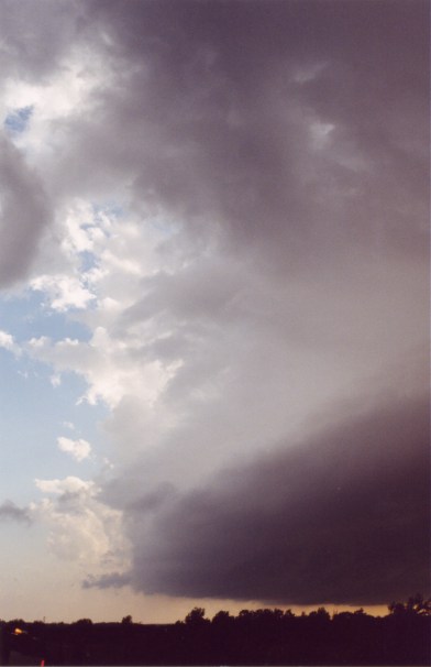
Noble Supercell |
||||
|
|
|
||||


 |
 |
 |
 |
 |
 |
 |
 |
 |
|
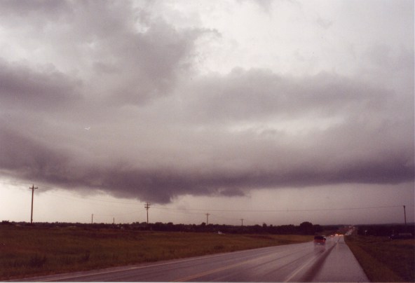
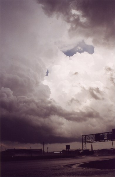
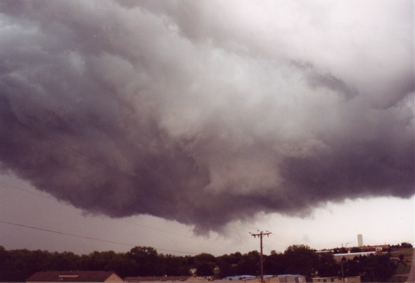
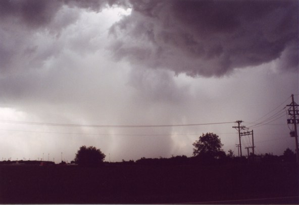
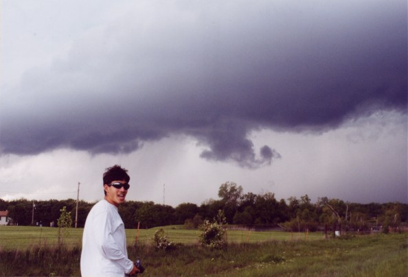
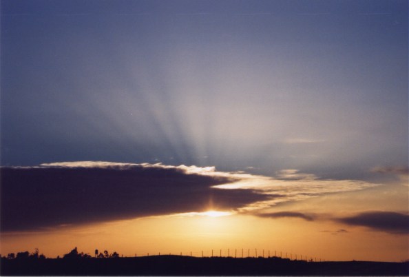
A stronger and more dominant updraft finally took over the storm, which moved SE. I drove into Noble and stopped just behind a new violently rotating wall cloud. A funnel cloud developed directly in front of us, but shortly dissipated. I noticed a new meso beginning to form off to the south, so we headed south following the supercell SE along 39 and then onto 3W. While following our cell I tried as best as possible to stay away from a large line of chasers (not all of them were chasers, many were just people with no idea what they were looking at, but thought they were chasing). We dropped the supercell in Ada and headed south and then west to get some good updraft and sunset pictures. I saw many updrafts of the separate cells to the south and north of our cell. We both had a final exam the next day, so we called it a chase and headed home. Jason got lucky and saw some nice stuff on his first storm chase, and I really enjoyed having him chase with me. |
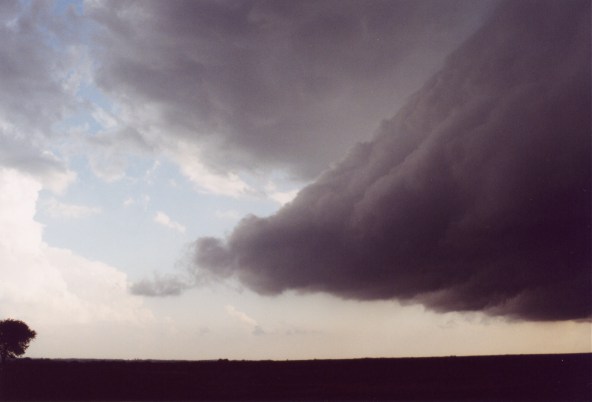
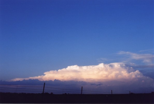
Shelf cloud, distant storms, and a nice sunset.
 |
 |
 |
 |
 |
|
 |
 |
 |
 |
 |
Home | Storm Store | Photo Gallery | Message Board | Storm Chases | Latest News
Stock Footage | About | Contact | Editorial | Weather Links
Copyright 2001 Stormgasm.com. All rights reserved.