![]()
|
Jim and I (Simon) forecasted the possibility of tornadic supercells to form in south central Illinois. I was home in Dayton, OH and Jim was at his home in Nashville, TN. We decided to meet at an exit in southern Indiana across the Ohio river from Louisville, KY. We met at a gas station and left Jim's car in a hotel parking lot nearby. We then began the drive to south central Illinois. We arrived in Mt.
Vernon, IL under a low-level cloud deck, and continued further west
on Route 15 hoping to find breaks in the cloud cover. We stopped in
a small town (possibly Nashville, IL), after seeing breaks in the cloud
cover. But we decided to go further north, so we took 127 north to Carlyle,
IL. After hearing In Salem
the clouds gave way to an approaching line of strong cells. We drove
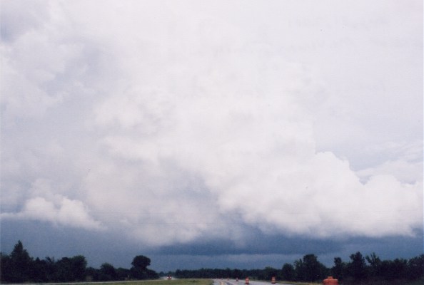
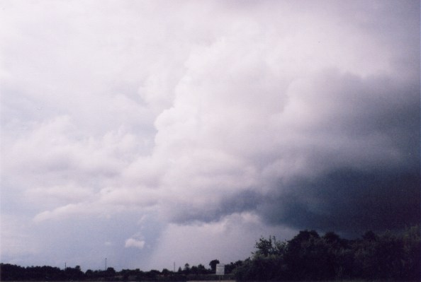
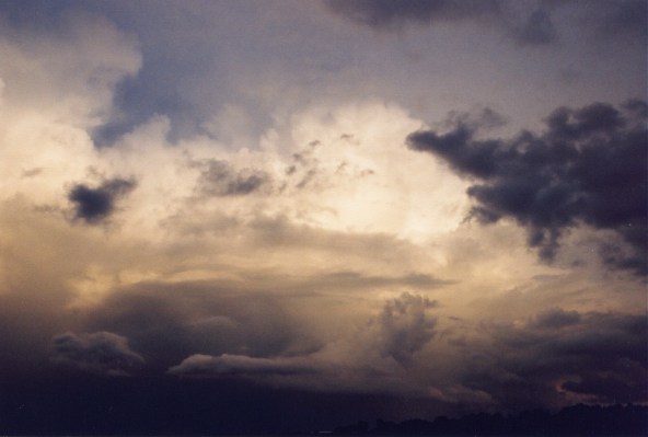
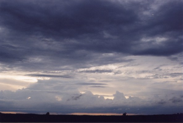
south and encountered a strong cell NW of Mt. Vernon. We punched thru
that storm and turned east on 64 where we met up with a supercell, which
had just produced a tornado to the SW. The supercell had nice structure,
a tilted updraft, |
 |
 |
 |
 |
Home | Storm Store | Photo Gallery | Message Board | Storm Chases | Latest News
Stock Footage | About | Contact | Editorial | Weather Links
Copyright 2001 Stormgasm.com. All rights reserved.