May 30, 2003 Preview
Supercells in
north central Illinois
Storm chasing
|
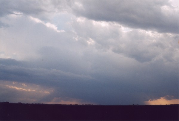
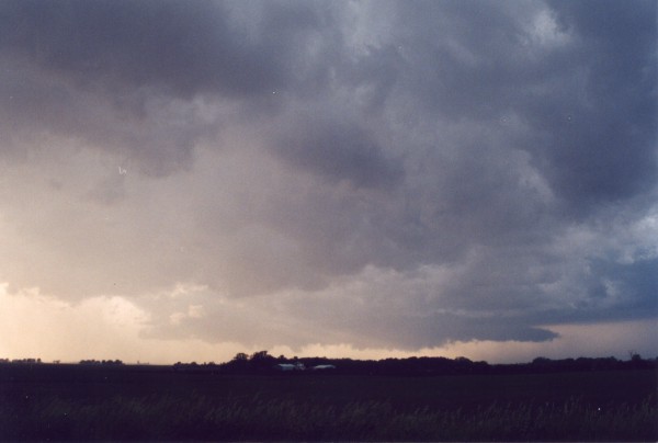
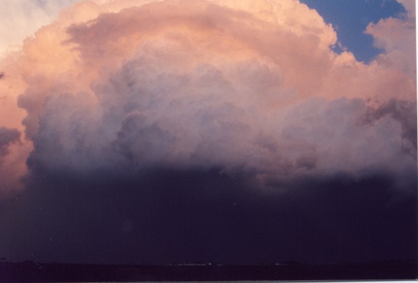
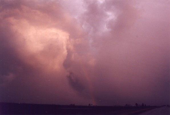
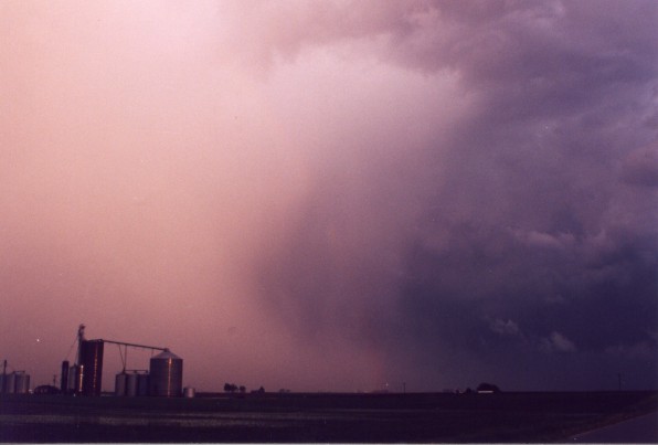
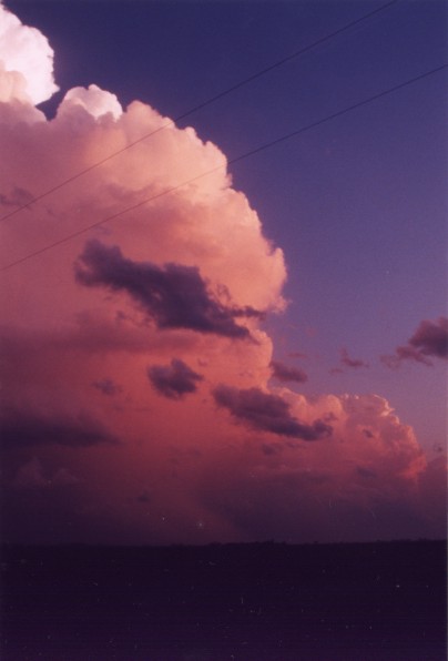
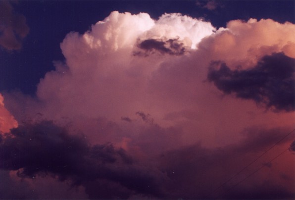
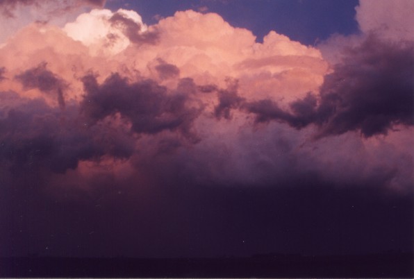
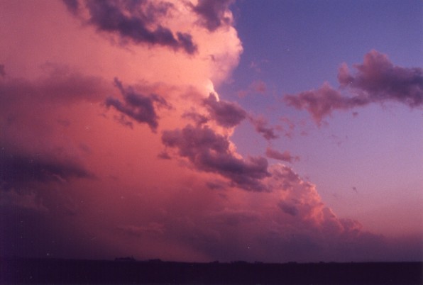
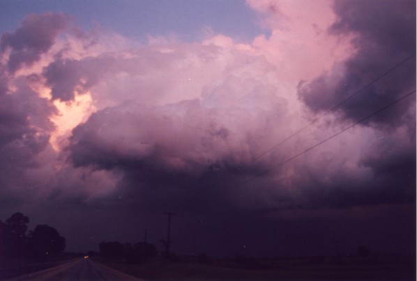
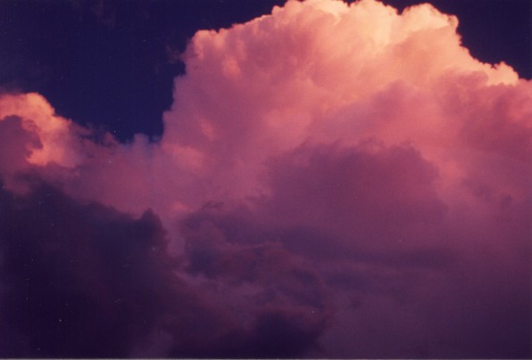
To make it brief, storms on this day were moving 30-40 mph to the southeast. On the upside (if you will) the road network was absolutely amazing. Unfortunately, once we got on a storm which looked promising for a tornado the low level mesocyclone dissipated. That seemed to be the consensus for most of the storms on this day. Short lived low level mesocyclones. I haven't looked at the data, but I would guess the majority of the tornadoes which formed were not long lived. We did see at least two wall clouds and a funnel. But that about does it. Fortunately, these supercells were absolutely amazing looking. |
 Supercell |
 Wall Cloud |
 |
 |
 |
 |
 |
 |
 |
 |
 |
 |
| Home | Storm Store | Photo Gallery | Message Board | Storm Chases | Latest News | Stock Footage | About | Contact | Editorial | Weather Links |
Copyright 2004 Stormgasm.com. All rights reserved.