![]()
|
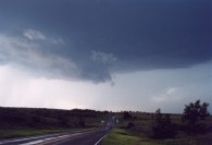
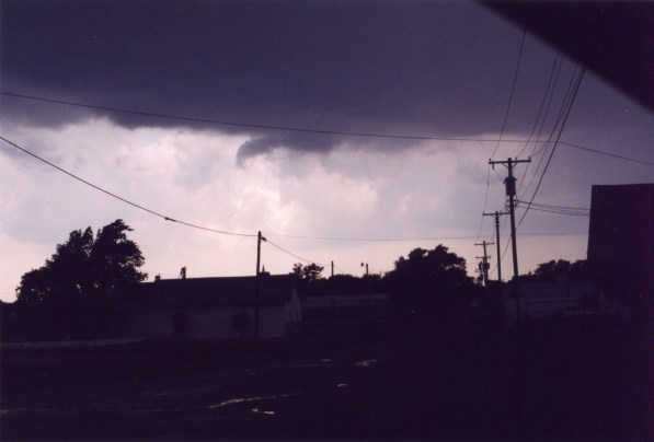
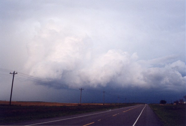
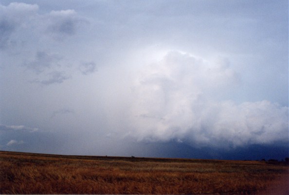
Simon, Tom and I (Jim) made our forecast, and it appeared like many supercells with tornadoes were possible. We headed to Sayre, OK which would be east of the dry line, but not too far east. Be advised the SPC's initial forecast was mainly focused on some outflow boundary in northern Oklahoma. We knew they'd adjust that to what we were thinking. We made it to Sayre, and found the dry line in the eastern TX panhandle, with a triple point to our NW in the TX panhandle. We drove about 10 miles north on state highway 283, and took highway 6 a few miles west, and looked for towers. There were too many CU's in the area to see any reasonable distance. But, it appeared a "boundary" had passed us, when in fact the dry line was still to our west. Eventually, we headed back to the internet booth. The dry line was forming into an "S" shape, and two distance areas of CU were forming, near Childress, and well north of Sayre. So, we headed west on I-40, and took state highway 30 south towards Hollis. Along the way, we saw towers, and encountered storms firing up. But, they didn't look very healthy, i.e. rain would fall very near the updraft just after formation. Shortly after storm formation, the rain would cut off the updrafts. Afte the first storm we ran into we realized the upper-level shear was too weak. We saw a decent looking storm to our south, and ended up in Hollis, looking at a developing wall cloud over the west side of town as shown in pic #8. I do not have a good picture of it, but I have good video. The storm began to weaken, and we saw nickel hail. The wall cloud dissipated,
and another storm to our north looked appetizing. We then drove north
on 30 and saw a mid level funnel from a decaying updraft north of Hollis
and continued north. We then It intensified, then got a bit rapped in rain. Then we heard a report of a storm near Sayre. Since we had a hunch about that area earlier, we took off towards it. |
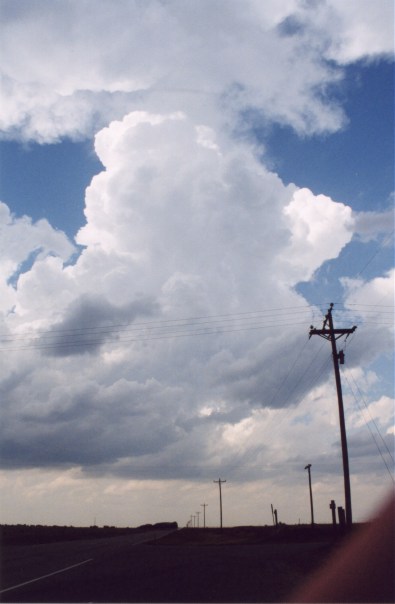
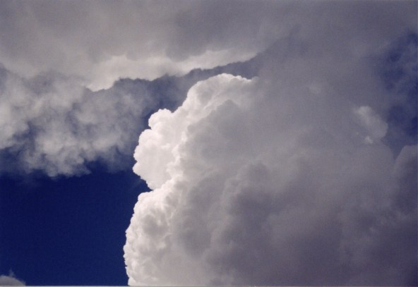
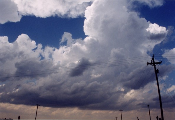
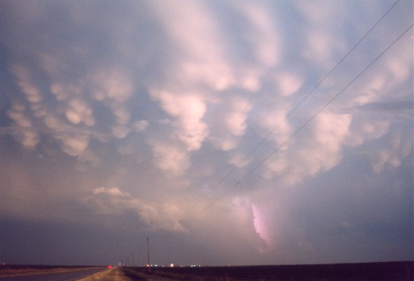
Three Different Storms...Which One Do We Chase? |
||||
|
|
|
||||

|
Funny
enough, after about 10 minutes, we decided leaving a storm with
a wall cloud didn't seem right, so we turned the hell around! Driving
through the forward flank downdraft region, we hit very heavy rain.
As we entered the western edge of the core, we got some more hail.
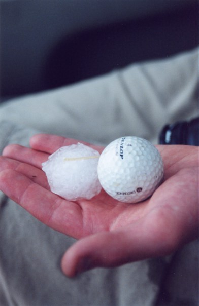
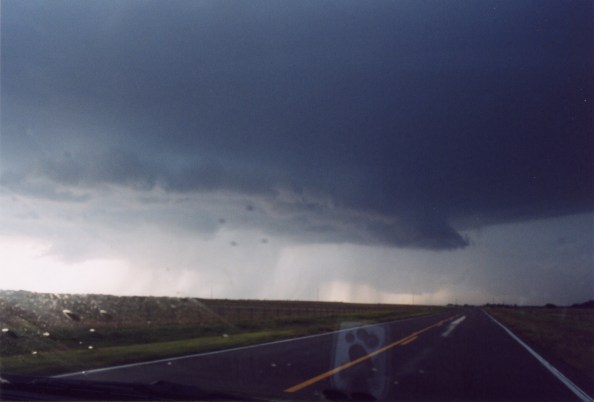
We took highway 9 east, and caught up to the wall cloud. It was almost completely wrapped in rain. We ended up taking N1840RD a few miles north to get due east of it. At that time, we saw one of those chasing tour vans fly by us, hauling ass SOUTH. Behind the van were several other chasers headed the same way! I thought, "What the hell are they doing?" Minutes later, we heard a report of strong rotation 10 miles to our SE. We were gone! Minutes later, heading east on on highway 9 towards Mangum, and waiting to get to 34 south, we here a report of a possible tornado near Cordell. Of course, everybody takes off north. We said, "Screw that." The storm we were in pursuit of was just a few more miles to our south. |
|
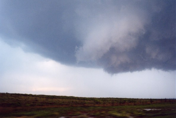
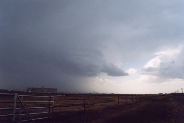
We plowed through yet another FFD from a massive high precipitation supercell. We emurged from the heavy rain a few miles north of Duke, and looked west. There was a rappidily rotating wall cloud, with multiple vortices, hanging from the cloud base just barely above the ground! I franticly tried to video tape, but it was raining, and the window was very wet. I rolled it down only to get my lense covered in rain drops. Simon twisted and turned the car to get into good position, and I was unable to keep the damn camera steady in the process! Unfortunately, the funnel quickly dissipated. It was the remnants of the cut-off mesocyclone from the storm. The updraft was actually to our east south east. Looking east, there was a rotating wall cloud to the new meso. Shortly after, we ran into our friend Reed Timmer, who's tires were coated in mud after pursuing the same wall cloud on a dirt road! Consequently, his car could only go 35 mph! |
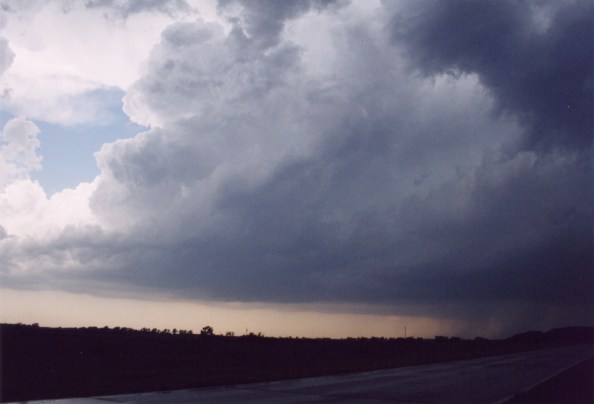
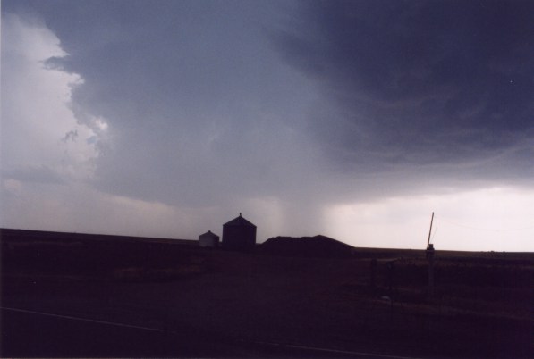
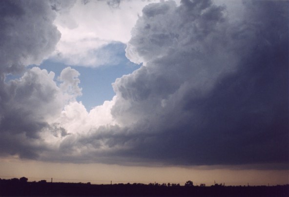
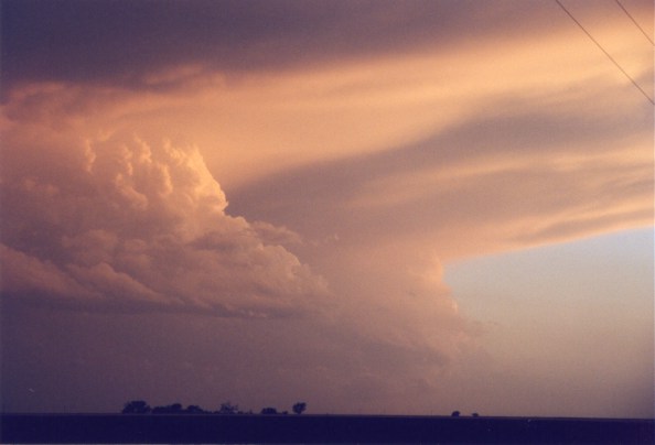
Another Occluded Mesocyclone... |
||||
|
|
|
||||

|
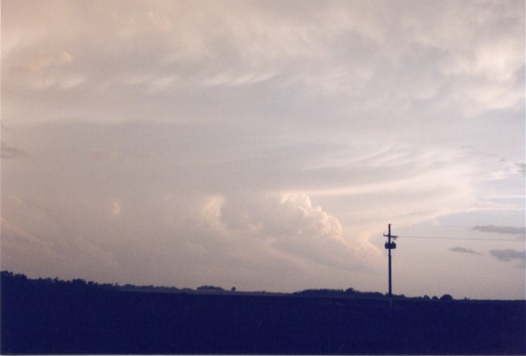
Not too much later on, we here a report of strong rotation on a storm to the west of Vernon, TX. We decided to take off! Unfortunately, we got screwed by taking the wrong dirt road, and had to back track several miles. After we
got caught on the wrong dirt road, we encountered a rain wrapped meso
near Olustee, OK, southwest of Altus, on Route 6. We got gas and headed due south from there. Somewhere north of Vernon, TX but south of the Red River, we decided to take some pretty pictures. The storm reportedly had lost it's low-level circulation, and it was turning to the south east, and picking up speed. I don't know if there was a brief touch down in Vernon or not, but it may have been similar to what we saw with the multiple vorticy wall cloud very near to the ground. Overall,
there probably wasn't enough upper level support for the CAPE this day.
All the storms were HP, and HP to the extreme. Nevertheless, another
good chase for the three of us! |
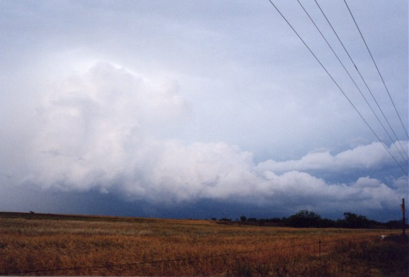
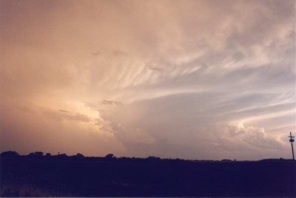
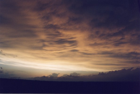
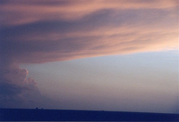
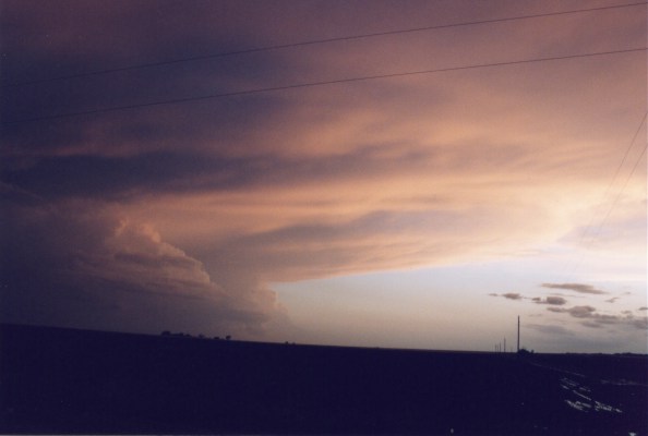
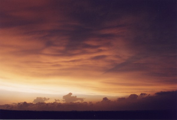
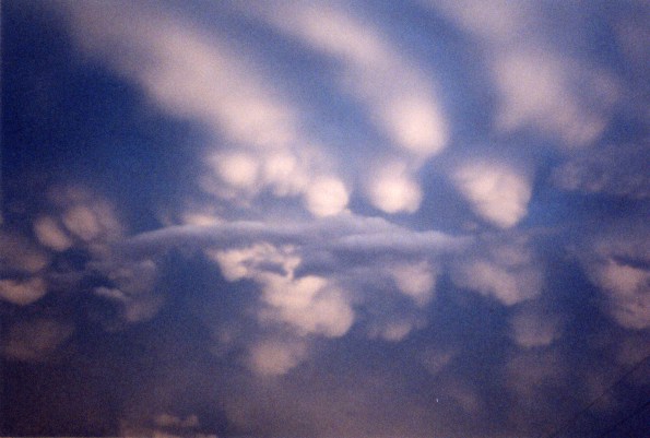
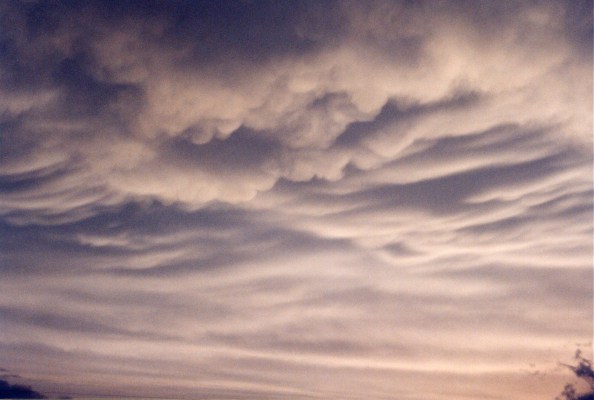
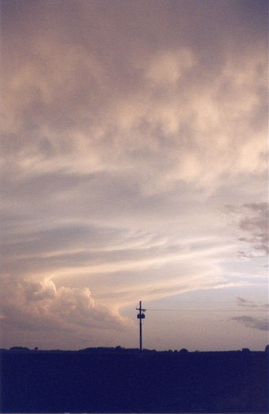
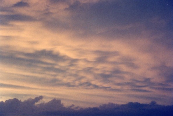
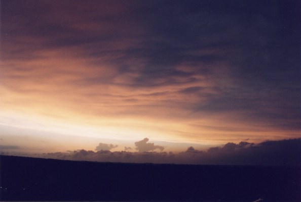
Gorgeous Sky Just north of Vernon, TX as the Sun Set |
||||
|
|
|
||||


Home | Storm Store | Photo Gallery | Message Board | Storm Chases | Latest News
Stock Footage | About | Contact | Editorial | Weather Links
Copyright 2004 Stormgasm.com. All rights reserved