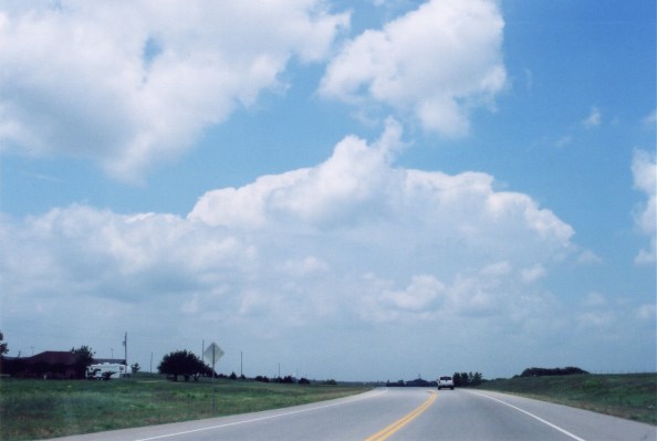
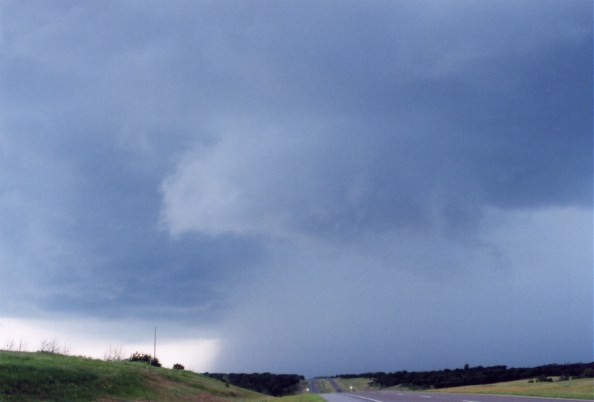
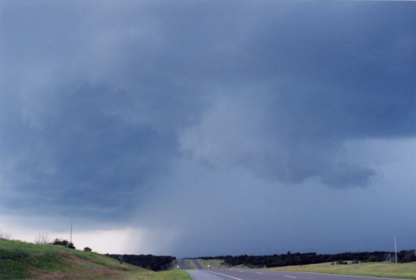
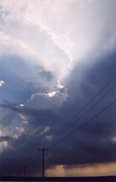
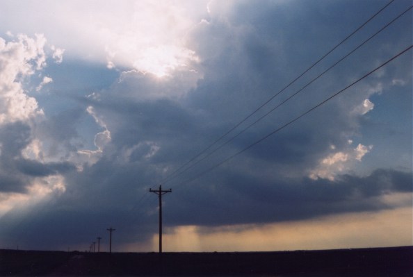
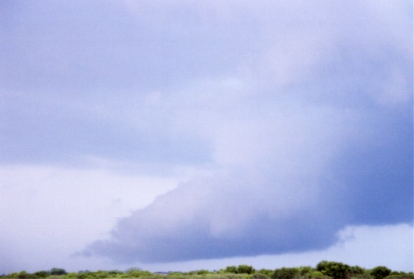
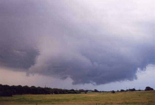
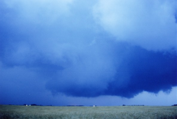
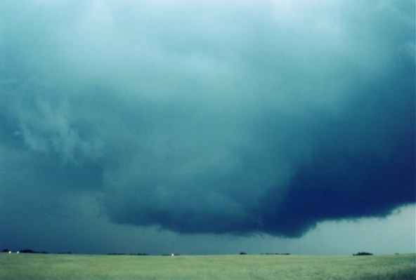
I left Norman around 1pm targeting a region along a strong outflow boundary north of I-40 in Western Oklahoma. Just after exiting the low-level stratus deck the first tower became visible, that tower developed into the first super cell of the day. While driving north on 281 towards Watonga, OK the tower developed an anvil. The cell received a severe thunderstorm warning as I approached the updraft on 58 NW of Watonga. The supercell formed a rotating wall cloud and quickly became HP. I followed the storm on dirt roads until it completely collapsed.


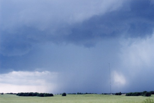
HP Supercell West of Watonga, OK 
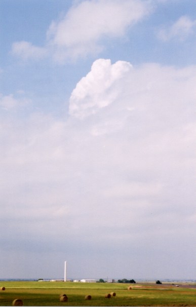
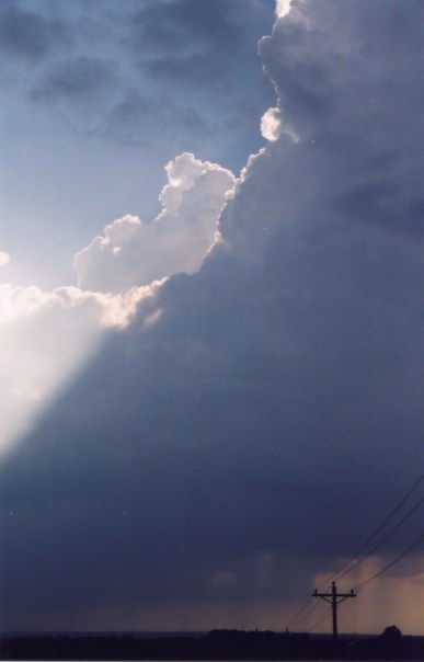
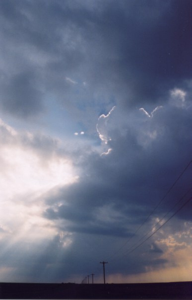
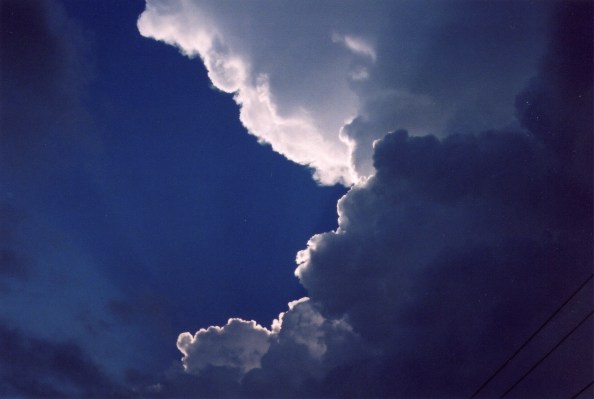
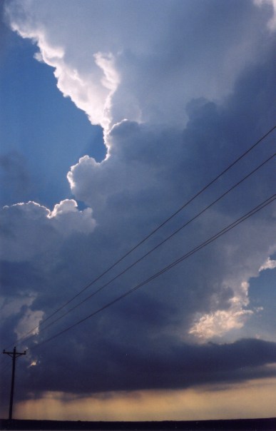
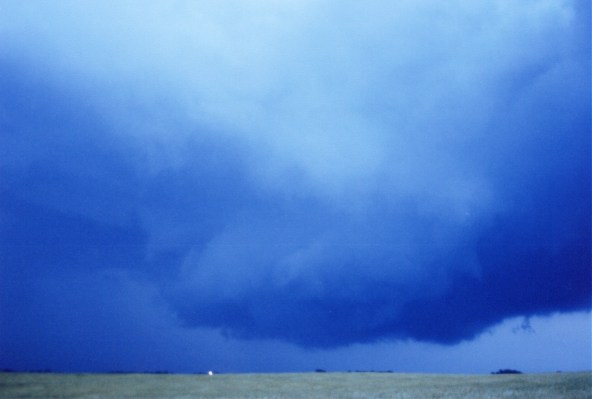
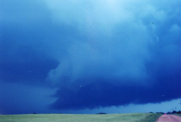
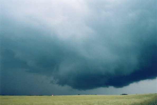


Rain foot


HP with wall cloud


I called Jim in Greenfield and he told me western Oklahoma still looked prime for some supercells later in
the day. I drove to Cordell and positioned myself on an outflow boundary lined with cumulus development.
Along this boundary an LP developed, but it didn't last very long before it crashed. I ran into Eric Nguyen and some other guys just south of Elk City. They had radar data, which showed a nice super cell
SW of Childress, TX, so they called it a day and invited me to eat with them at Denny's, but I
wasn't finished yet. I saw what appeared to be a developing rain shaft to the west, so I headed west on I-40.


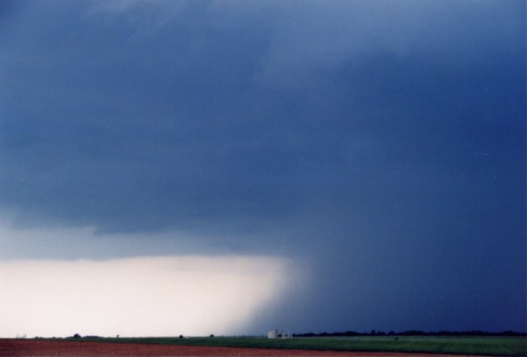
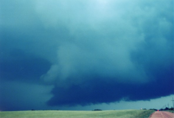
Awesome LP Supercell West of Cordell, OK 
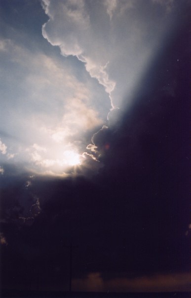
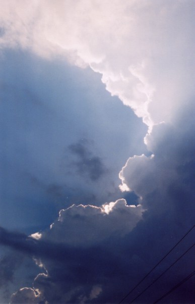
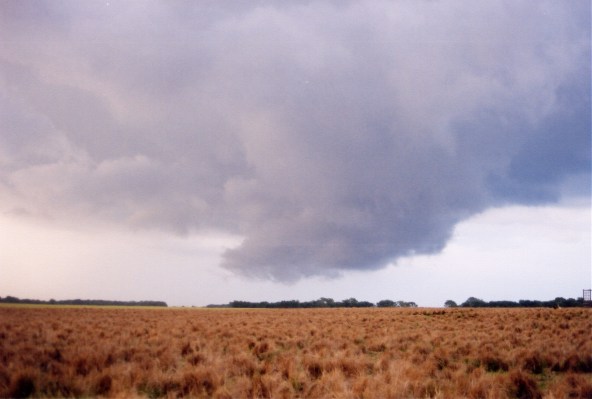
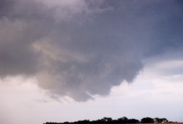
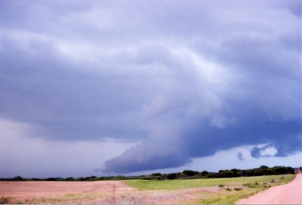


I hit heavy rain an dime-sized hail near Sayre. The rain and hail ended abruptly on the west side of Sayre.
I was greeted with a rapidly developing wall cloud just north of I-40. This was a classic super cell and the
multiple funnels dangled from the violently rotating wall cloud. I was surprised a tornado did not touch down. I positioned myself in the RFD only a mile from the wall cloud most of the time. After dark I ran out of dirt roads and I could hear and even see racket ball-sized hail thumping the ground around me, so I began the drive home. GREAT CHASE!


Classic Supercell Wall Cloud West of Sayre, OK  


Home | Storm Store | Photo Gallery | Message Board | Storm Chases | Latest News
Stock Footage | About | Contact | Editorial | Weather Links


All storm chasing (tornado, supercell, lightning, hail, sunset, ect.) photos and videos are copyright property of Jim Bishop and Simon Brewer (Stormgasm), unless otherwise specified. Any unauthorized reproductions are strictly prohibited by law.
Copyright 2004 Stormgasm.com. All rights reserved.