![]()
|
Me (Simon) and
Jim left Norman on this morning expecting
|
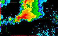
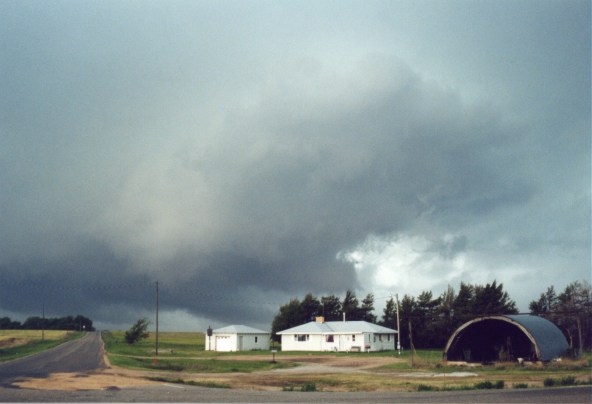
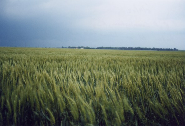
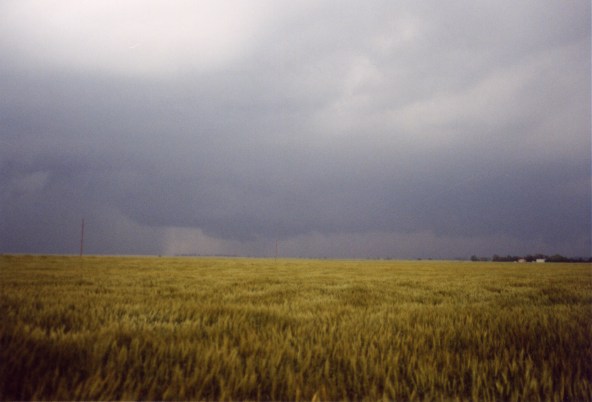
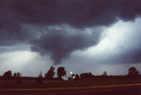
Supercell Forms Just South of Dodge City, KS |
||||
|
|
|
||||


|
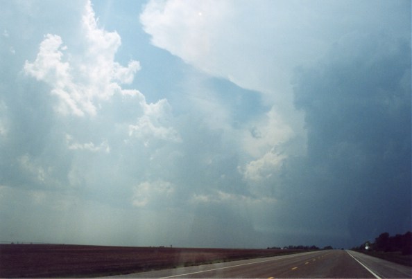
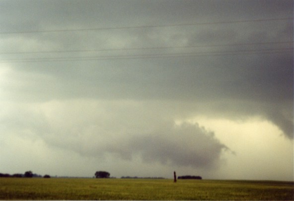
We were
forced onto dirt roads in order to stay with the now rapidly developing
wall cloud. We were in great position until we ran out of roads. The
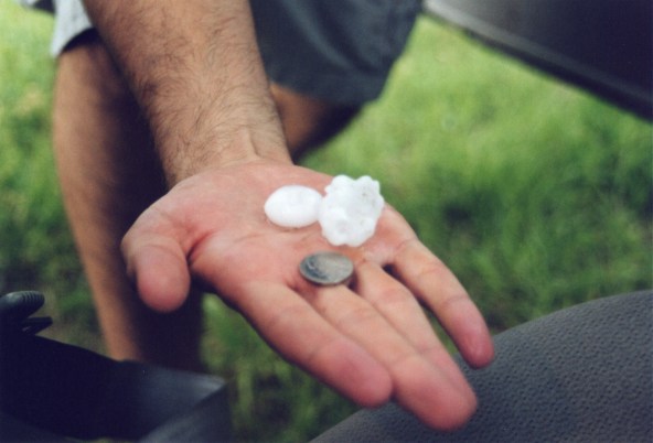
RFD slammed us with dime and nickel hail and strong winds,
|
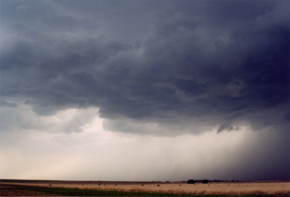
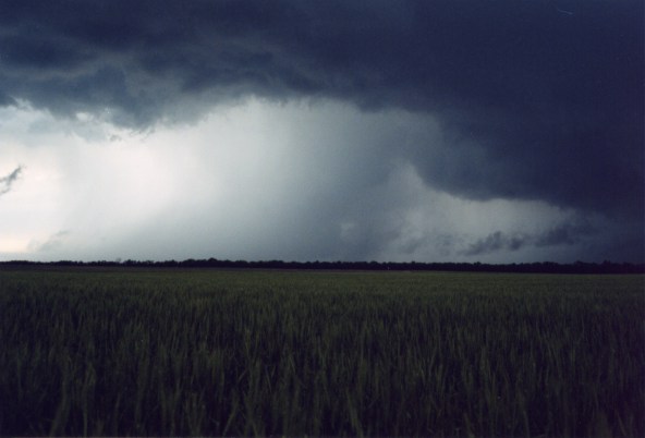
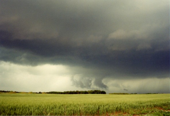
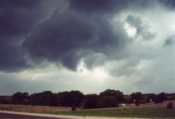
HP Supercell |
||||
|
|
|
||||


|
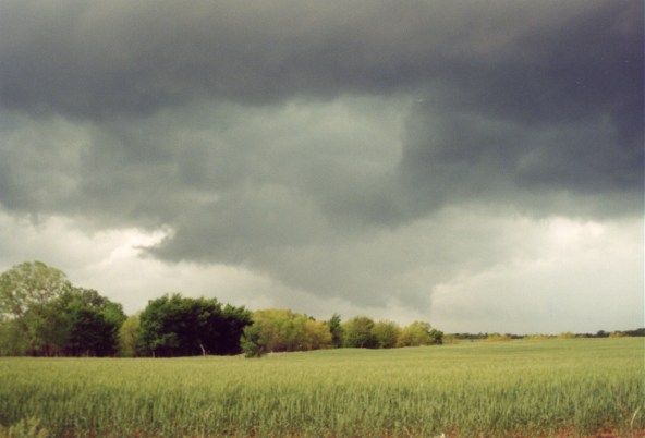
To
catch the cell we had to go all the way up to Kinsley and then back
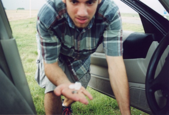
down to Pratt. But along the way we saw an impressive rapidly rotating
wall cloud north of Luka (shown in picture #8, which is just above the
pic of Simon with a hail stone). We kept going south and then west through
the town of Pratt, while the tornado sirens were blaring. We then drove
south on a road near Cunningham and Cairo. On this road we saw a weak
tornado form a half mile to our west. And before the tornado dissipated
a brief landspout
|
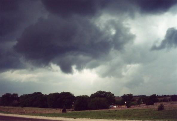
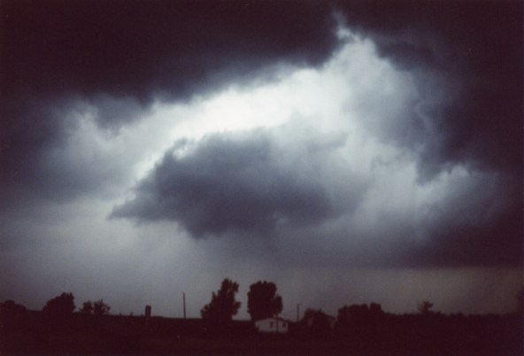
HP Supercell Intensifies |
||||
|
|
|
||||
|
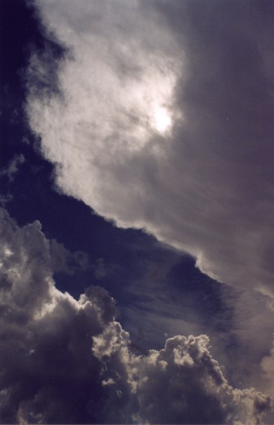
We drove
east along dirt roads watching the storm pulsate. Around 7:30 or so
the storm got very well organized with a nice RFD and large ominous
wall cloud. At times we thought the storm was going to
|
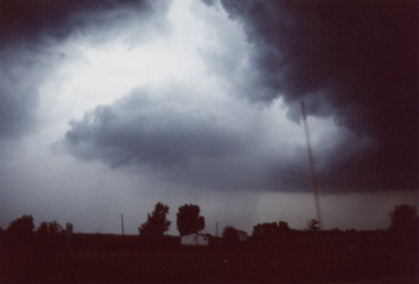
RFD, Wall Cloud and Funnel |
||||
|
|
|
||||
Home | Storm Store | Photo Gallery | Message Board | Storm Chases | Latest News
Stock Footage | About | Contact | Editorial | Weather Links
Copyright 2004 Stormgasm.com. All rights reserved