May 10, 2009 Marathon,TX Supercell
|
May 10, 2009: Jim Bishop and Simon Brewer intercepted an incredible HP supercell in Southwest Texas near the town of Marathon. The mid-level and upper-level flow was border-line adaquate for supercell development over Southwest Texas, but the low-level flow was good and relatively deep moisture would be advecting into the region in the late evening. We targeted an area southwest of Fort Stockton, TX near a town called Alpine. We expected high-based cells to develop in the late afternoon/early evening from upslope along the Davis Mountains. We hoped the shear would be strong enough for at least one cell to organize and progress eastward toward the deeper moisture and lower LCL's. We got really lucky, because one cell did progress east of the Davis Mtns north of Alpine, TX. The cell was, initially, high-based, but it developed a mid-level mesocyclone. |
 |
|
Image on the right shows the Davis Mountains west of Alpine, TX. A storm can be seen over the mountains. |
 |
|
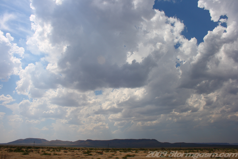
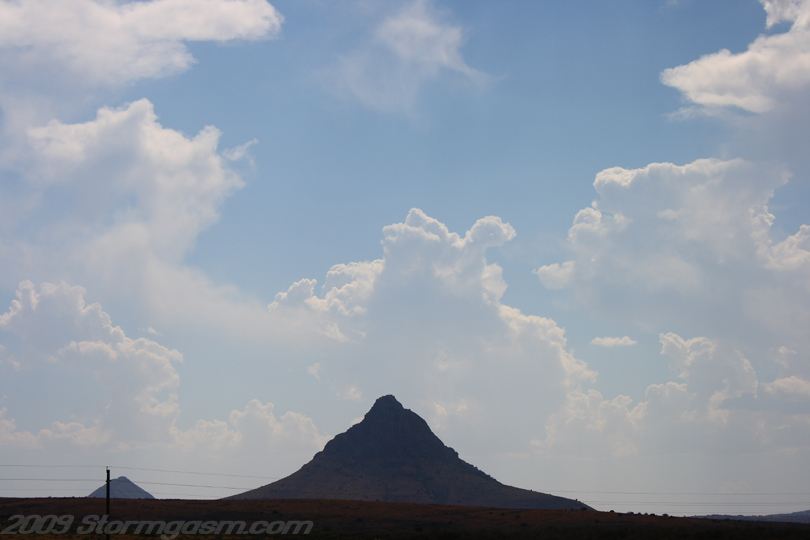
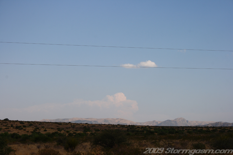
Image on the right shows a lone mountain southwest of Alpine, TX with cumulus congestus in the background. |
 |
|
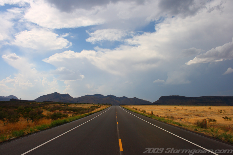
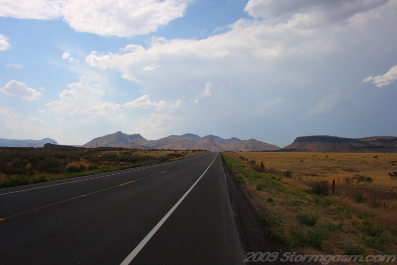
Image on the right shows a storm over the Davis Mtns west of Alpine, TX. |
 |
|
Image on the right shows cumulus development north of Alpine, TX. |
 |
|
Image on the right shows a developing storm north of Alpine, TX. |
 |
|
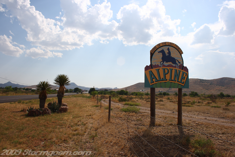
Image on the right shows the sign for Alpine, TX... ''Home of the last frontier". |
 |
|
Image on the right shows a big storm with an overshooting top in Mexico! |
 |
|
Image on the right shows a high-based storm base northeast of Alpine, TX. |
 |
|
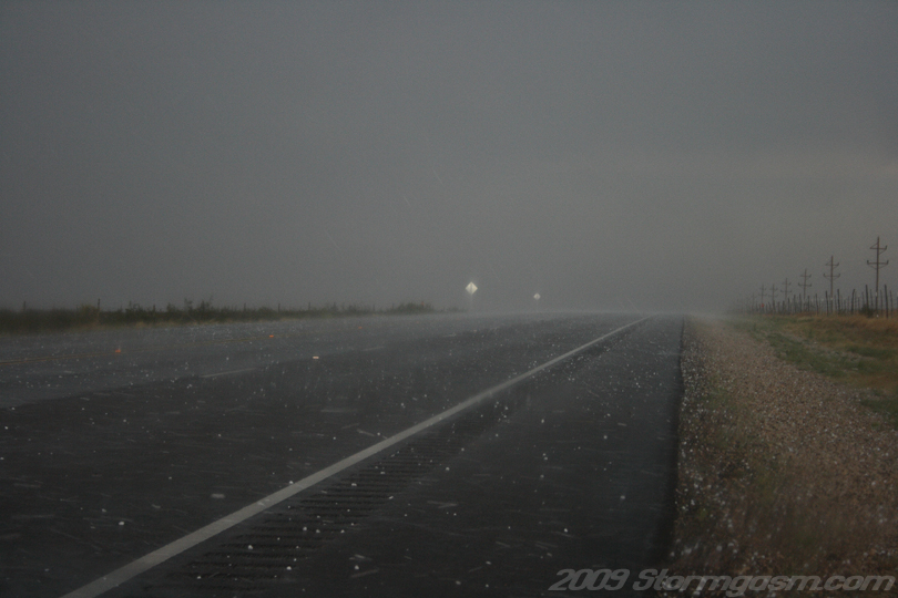
Image on the right shows nickel and quarter-sized hail falling in the core of a storm northeast of Alpine, TX. |
 |
|
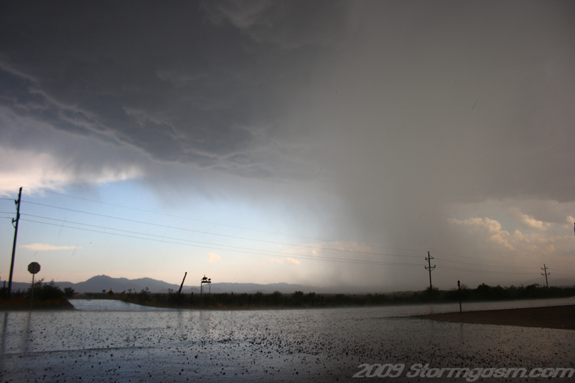
Image on the right shows the storm base and a hail/rain shaft northeast of Alpine, TX. |
 |
|
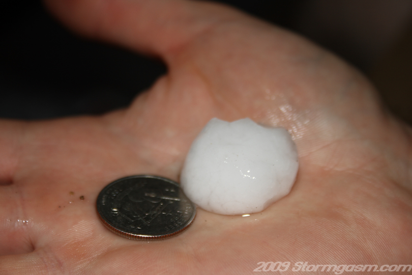
Slightly larger than quarter-sized hail was measured against a quarter north of Alpine, TX. |
 |
|
Image on the right shows a double rainbow northeast of Alpine, TX. |
 |
|
Image on the right shows a double rainbow northeast of Alpine, TX. |
 |
|
Image on the right shows the supercell crossing a small mountain range west of Marathon, TX. Scud can be seen from rain cooled outflow being forced up the small mountains. |
 |
|
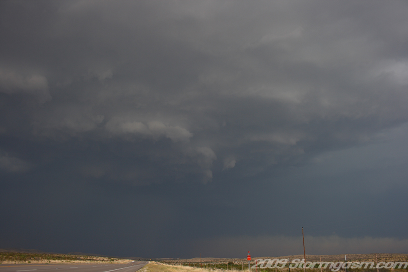
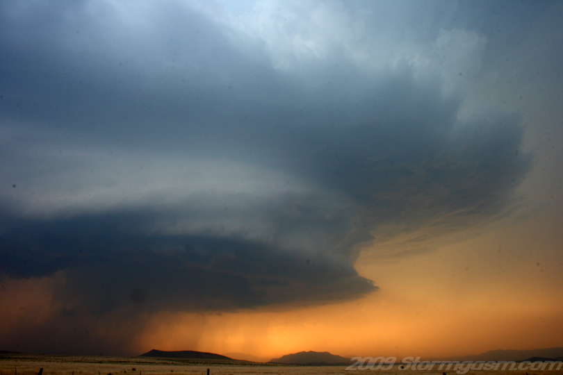
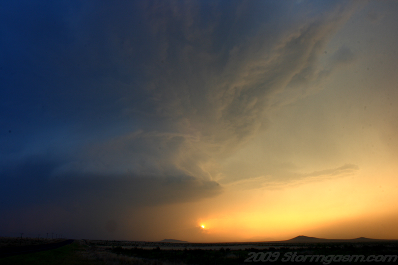
Image on the right shows the meso of the supercell as the base drops east of a small mountain range west of Marathon, TX. It appeared the supercell gain access to deeper moisture east of the small mountain range, because the structure went from high-based 'crap' to incredible east of the small range. |
 |
|
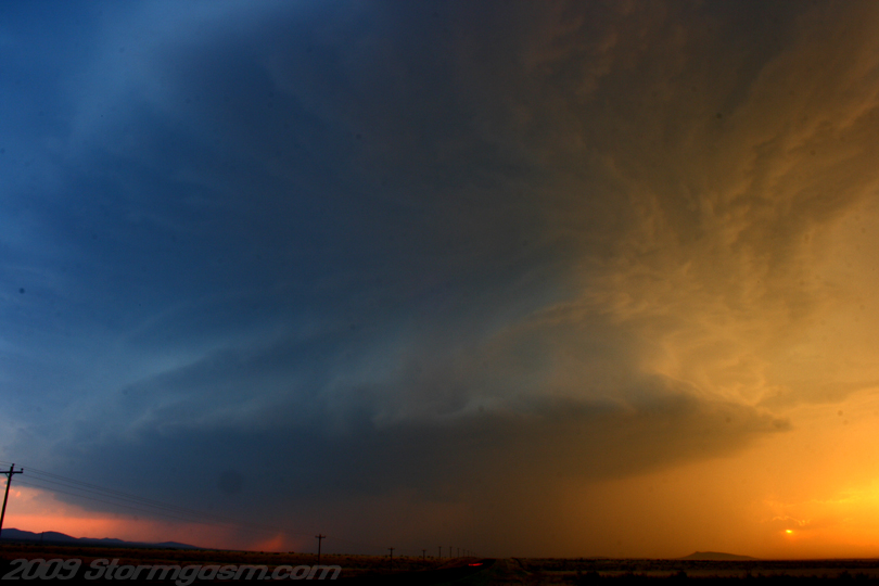
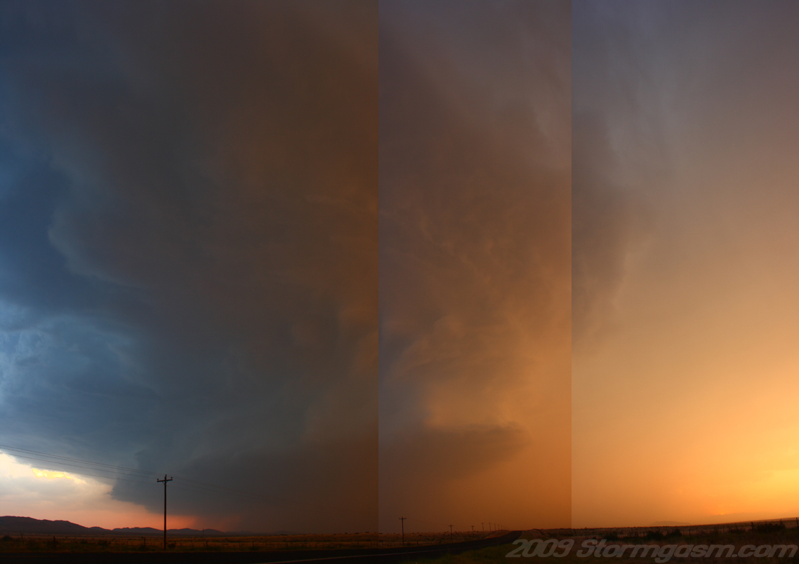
Image on the right shows a composite of four images to show the supercell after it crossed a small mountain range west of Marathon, TX. |
 |
|
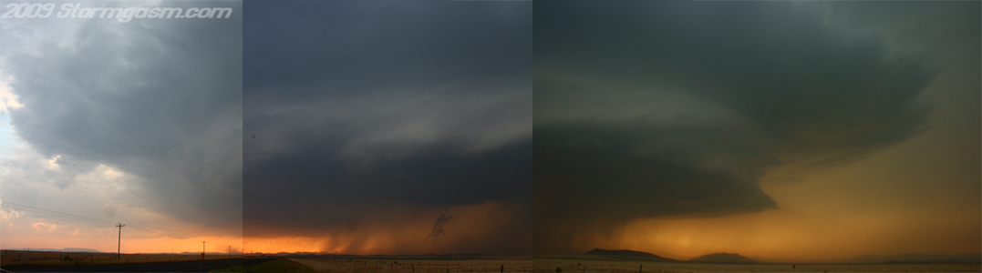
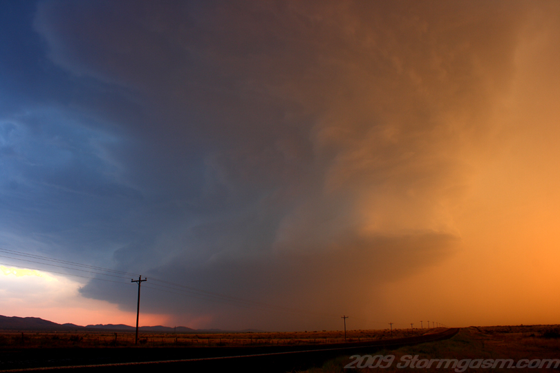
Image on the right shows the supercell rapidly organizing east of Marathon, TX. We only saw one other group of chasers out there and it was a three-van-chasing-tour-group. Image below is a panaramic composite of three images... |
 |
 |
|
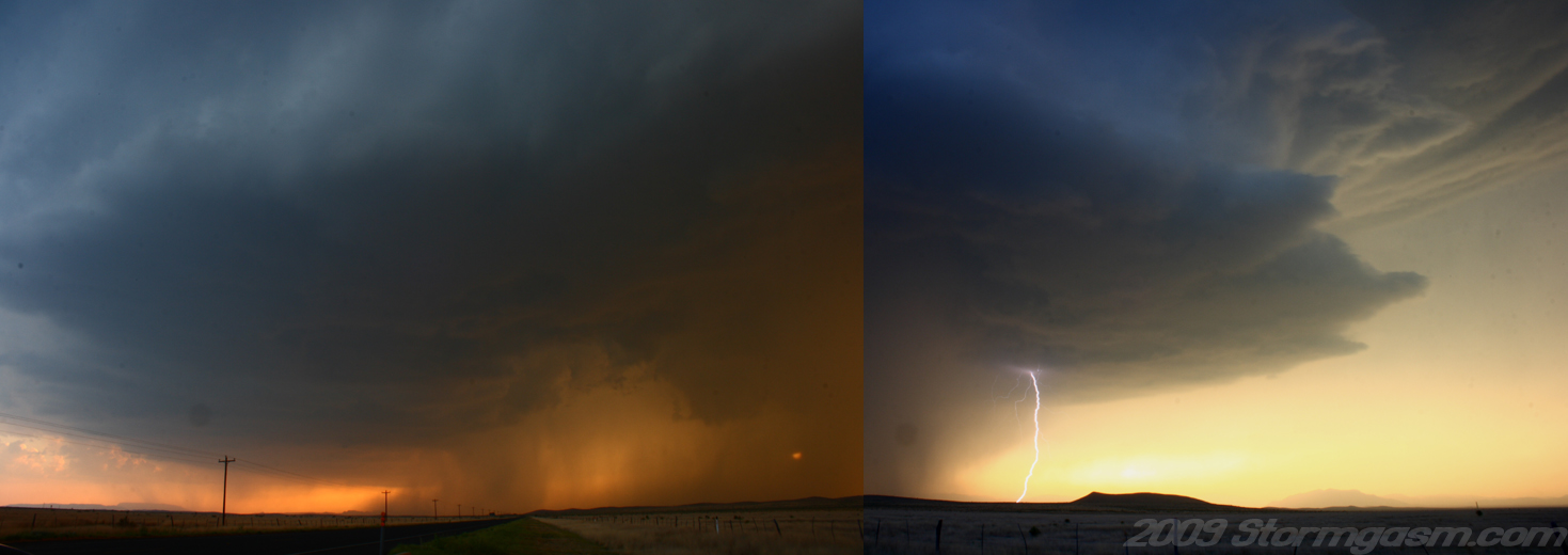
Supercell east of Marathon, TX: a faint lightning bolt can be seen under the wall cloud in the rain in the pic on the right. |
 |
|
Supercell east of Marathon, TX. |
 |
|
Supercell east of Marathon, TX. The image on the right is a composite of two images taken only moments apart, but I believe the white balance setting was significantly different for both pics, so the color is more red in one and blue in the other. |
 |
|
Supercell east of Marathon, TX. |
 |
|
Supercell east of Marathon, TX. |
 |
|
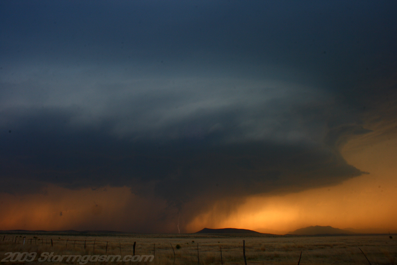
Supercell east of Marathon, TX. Image on the right is a composite of 3 pics to show more structure on the supercell. |
 |
|
Supercell east of Marathon, TX. |
 |
|
Supercell east of Marathon, TX. |
 |
|
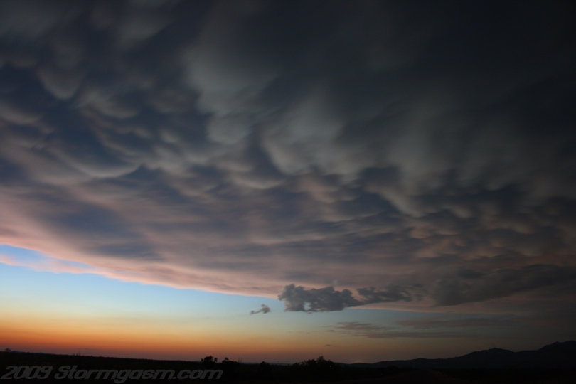
Mammatus northeast of Marathon, TX after sunset. |
 |
|
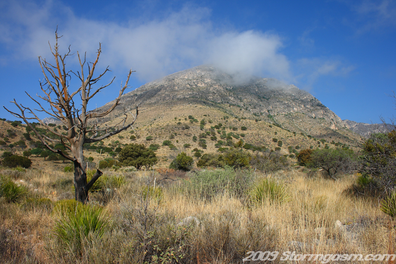
We drove late into the night (till 3 am?) and arrived at Guadalupe Mountains National Park. We camped there with the intention of chasing again in Southwest Texas the following day and perhaps taking a tour of Carlsbad Caverns to the north before we began the chase. I recommend taking a visit to both National Parks, because they pretty nice. We woke to low clouds on the Guadalupe Mountains and a thick low-level cloud deck to our north where the cold front was located. We were concerned the front would not stall, but, instead, continue plowing south and ruin the chase setup for the day. We woke early, so we decided to pack the gear and take a tour of Carlbad Caverns National Park. Image on the right shows a mountain view from out campsite. |
 |
|
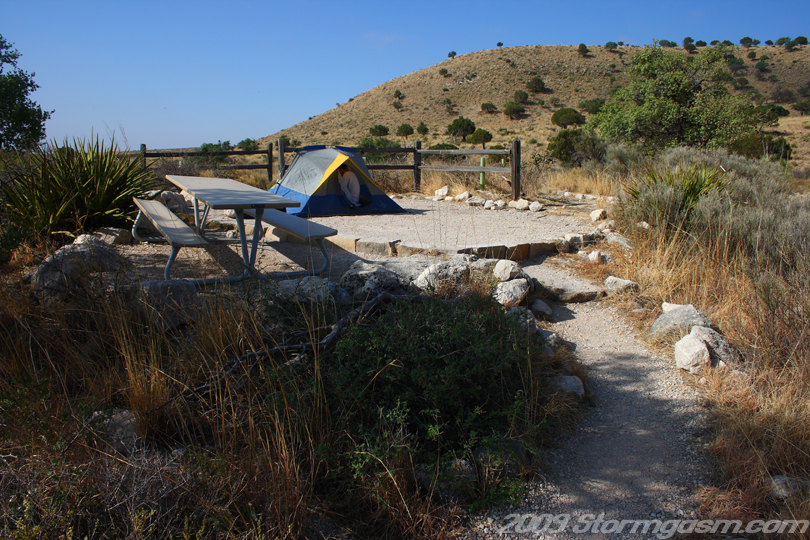
The image on the right shows our campsite at Guadalupe Mountains National Park. It was a beautiful place to camp with a well maintained campground. |
 |
|
Jim in Guadalupe Mountains National Park. |
 |
|
Guadalupe Mountains National Park sign in Southwest Texas. We drove up to and took a tour/hike in the big cave a Carlsbad Caverns National Park. We decided to head back to Norman, OK, because the front was pushing south and nothing would form in Texas. |
 |
Home
| Storm Store | Photo
Gallery | Message
Board | Storm Chases | Latest
News
Stock Footage | About
| Contact | Editorial
| Weather Links
Copyright 2004 Stormgasm.com. All rights reserved.