April 21st, 2008 Central OK Supercell
|
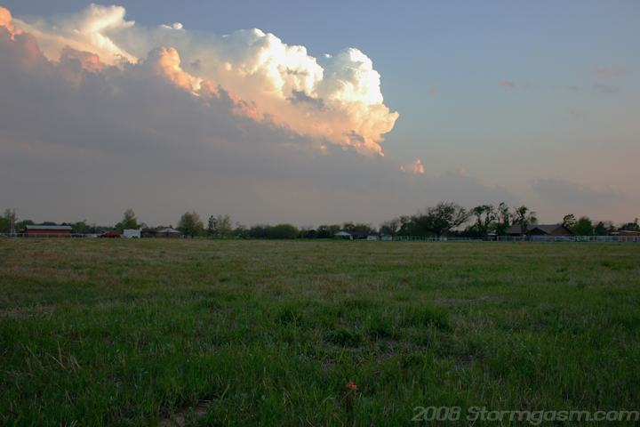
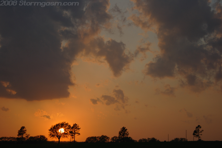
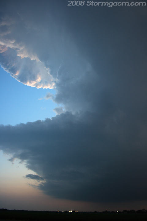
April 21st, 2008 Simon Brewer documented supercell SW of Purcell, OK or near the town of Maysville, OK. The CAP was pretty strong today, but 3,000-4,000 J/kg of analyzed CAPE and a well defined dryline over Central OK kept me watching the sky; the only real hope of upper level support was a well defined left exit region of a subtropical jet streak over TX moving towards OK. Towers developed and evaporated in the late afternoon and evening, and by 7 pm it seemed all hope was lost as peak heating had come and gone and no substantial towers had developed. I was heading home from the National Weather Center and noticed a few new towers developing along the dryline just west of I-35; they were small but had relatively large bases, which was much better than previous convective towers earlier that evening. One tower SW of Norman began to show good signs of breaking the CAP, so I headed south to get some pics; the pic on the left is looking SSW at a developing cell WSW of Purcell, OK. The pic on the right is looking WNW at a beautiful Oklahoma sunset. |
 |
 |
|
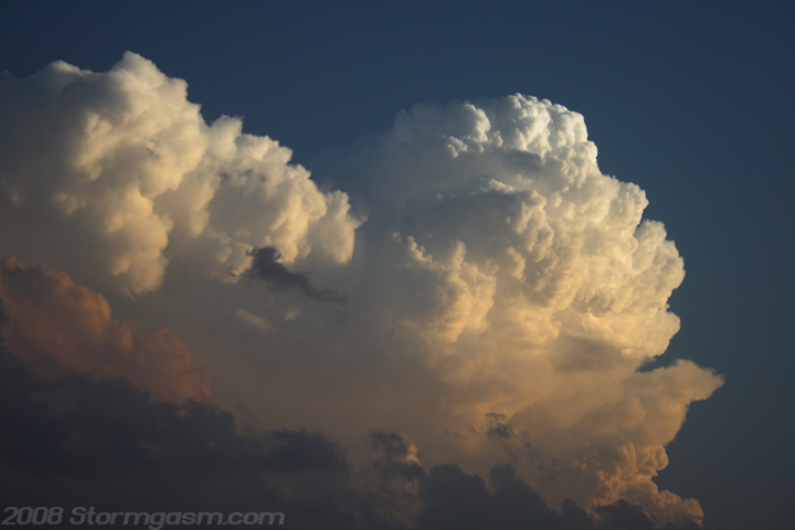
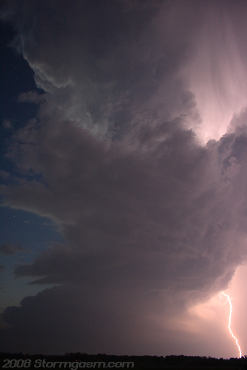
Pic on the left shows explosive convection WSW of Purcell, OK. The storm WSW of Purcell appeared to be back building for a while before it finally split and developed a single updraft. The pic on the right is looking west from just north of Maysville, OK at the supercell mesocyclone to my west. Lots of lightning and hail with this supercell. |
 |
 |
|
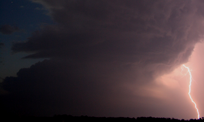
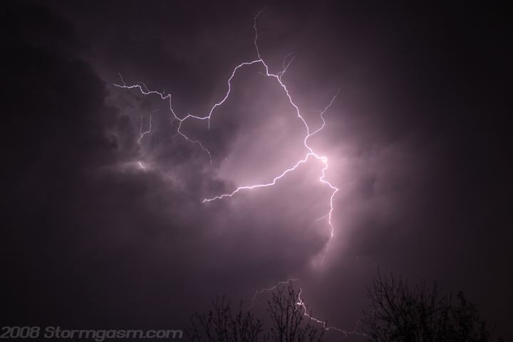
I received some quarter-size hail in Maysville, but I think the hail probably got bigger after I left town, because the core was still to the west. I repositioned on a small road SE of Maysville to get structure and lightning shots of the storm. The pic on the left is looking west at the mesocylone and lightning strike. The lightning was frequent in the anvil, so I made many attempts to get a pic of me with a bolt in the background. I had the shutter speed on 'bulb' with the flash on to light me up initially and then ~20 seconds later a bolt lit up the sky behind me! This shot (on the right) took many attempts, but it turned out well! |
 |
 |
|
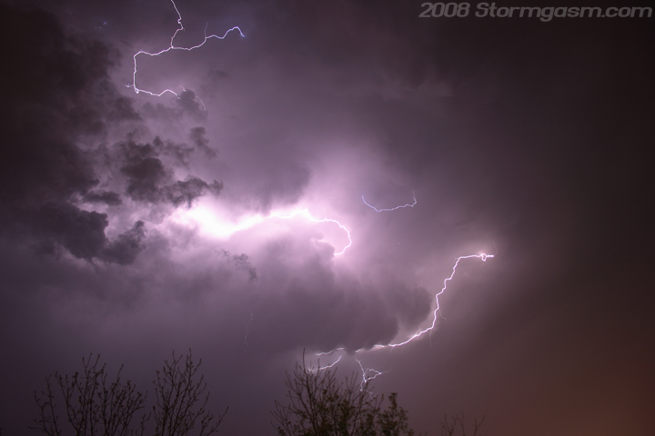
I took many lightning shots and finally the storm began to weaken significantly as it passed over I-35 to my northeast. The two shots on the right are almost above my location. Great day considering the incredible capping inversion! |
 |
 |
Home
| Storm Store | Photo
Gallery | Message
Board | Storm Chases | Latest
News
Stock Footage | About
| Contact | Editorial
| Weather Links
Copyright 2004 Stormgasm.com. All rights reserved.