March 26, 2004 W. Central Oklahoma
|
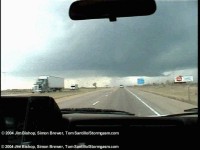
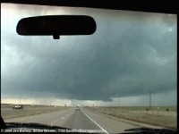
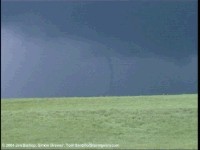
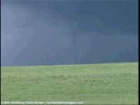
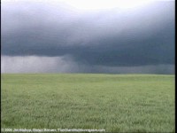
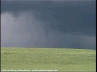
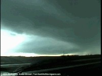
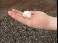
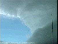
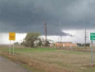
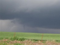
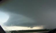
Temporary Chase Summary: Myself (Jim), Simon, Tom, Chris Walsh, Lela Knight, and Maggie Johnson took off towards western Oklahoma on I-40. We met up with the supercell which moved northwest of the Elk City area. This hp supercell had great structure and was very spectacular. We were met with a developing wall cloud. It was quickly undercut by outflow from the forward flank downdraft, and this became the "norm" for this storm for most of it's life cycle. At one point I saw one random tennis ball sized hailstone amongst golf balls! Man I should have stopped and taken a photo, but we were too busy heading after the new meso to the northeast! Nearly two hours later it produced a very short lived rope tornado that literally touched down and disappeared in less than 10 seconds! A little later, a 2 minute rope touched down which most chasers saw. After another hour the storm was losing definition, so we dove southwest towards the newly developed supercell that was approaching Cordell. South of I-40 we saw more golf ball sized hail and a spectacular layer-cake hp supercell. At one point the mesocyclone circulation began to lower and nearly touched down in a field next to us. Too bad the cold outflow undercut it. The circulation was weak, but it could have been a quick spin up nonetheless. We followed the storm northeast. The zoo of chasers I witnessed on this day was absolutely ridiculous! I saw one of my professors, Simon saw another one of ours, many OU graduate/undergraduate students, and some well known chasers too. I think it was near Okarchie when another funnel nearly touched down around twilight. I can't confirm the touchdown, but it was very close at that. Saw some great lighting after dark. All in all, absolutely great chase! Marks our first tornadoes for the year!
|
Some Video stills
Digital Photos from Tom
Photos, more videos stills and a video clip will be up soon...
Home | Storm Store | Photo Gallery | Message Board | Storm Chases | Latest News
Stock Footage | About | Contact | Editorial | Weather Links
Copyright 2004 Stormgasm.com. All rights reserved.
