October 17th, 2007
Central Oklahoma Supercells
|
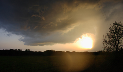
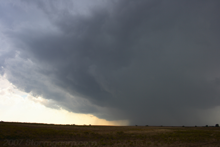
Simon Brewer, Anna Morrell, and Corey Rundquist documented two low-topped supercells and a few outflow dominant thunderstorms in Central Oklahoma on October 17th, 2007. Target was Central OK; ENE of pronounced dryline bulge, which was over SW OK. Never really expected a tornado today; the 0-1 km helicity values were absolutely horrible, but the 0-3 km helicity values were adequate for supercells. I love low-topped supercells, so I just had to chase this day. First pic was looking ssw north of El Reno, OK.
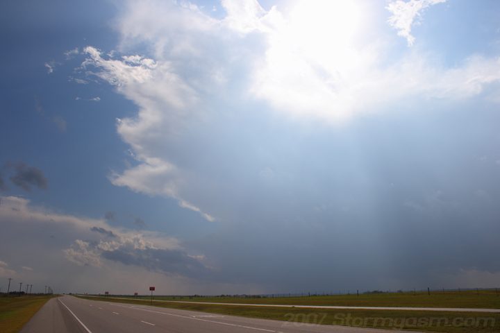
Cell gets better organized; looking ssw north of El Reno, OK.
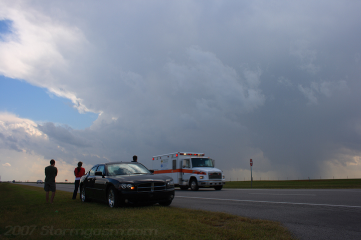
Got an ambulance in the shot; looking sw north of El Reno, OK.
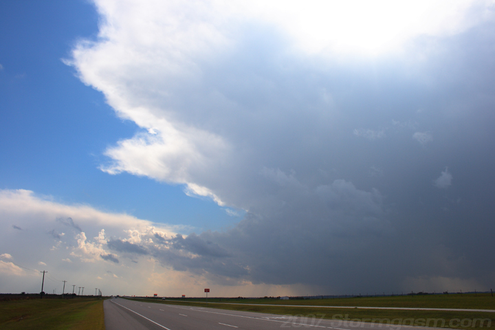
This pic is looking sw; we were east of Okarche, OK at this point and the cell was beginning to look pretty organized.
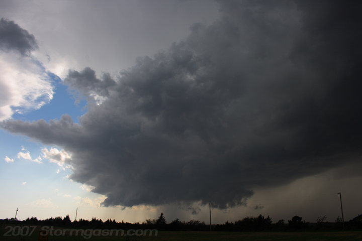
Wall cloud, weak rotation, but mid-levels of storm showed good rotation; looking sw, we were east of Kingfisher, OK north of Cashion, OK.
Same spot
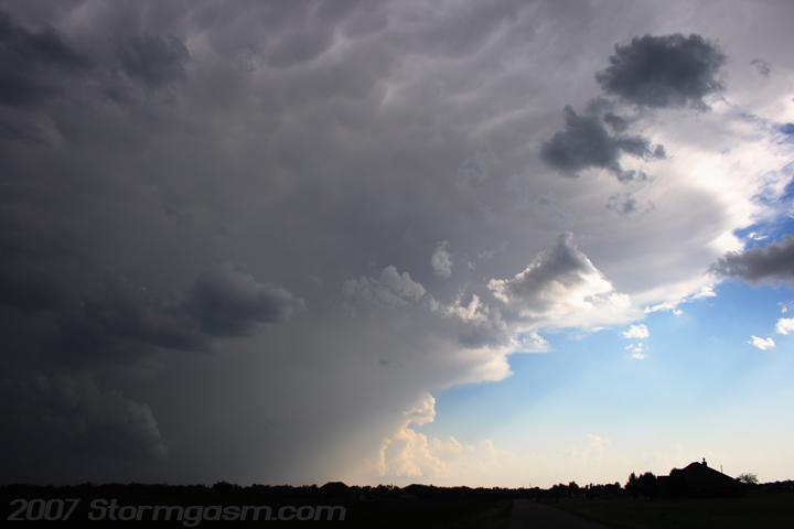
This was the cell over western Oklahoma City to our south; I wasn't worried about that cell, because I could see under nearly all of the updraft from this location.
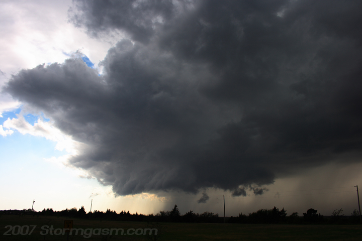
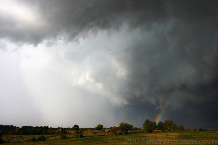
Wall cloud looked its best here, but still has weak rotation at best. Shortly after this pic the updraft showed signs of weakening and outflow then quickly undercut the main updraft and the storm became elevated, so we drove east through Guthrie to catch the OKC cell, which was also elevated. After discovering the OKC cell/cells were elevated and linear we let the storms overtake us and we got some nice hail shaft and rainbow shots. The cores may not have looked impressive on radar, but they mixed down some impressive surface winds!
Rainbow warning! Spotters have reported a rainbow on the ground west of Cushing, OK! Be prepared to take action if a rainbow is spotted near you!
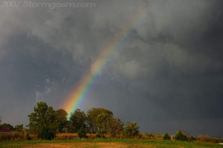
Was not a full rainbow, but was bright!
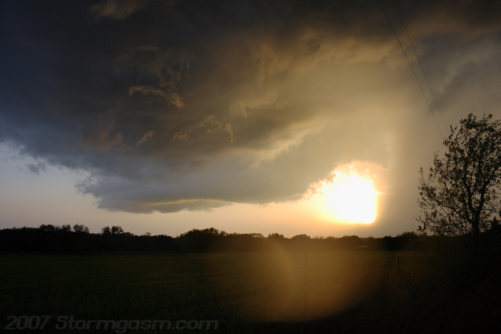
We were not ready to give up, because we had a lead advantage on new cells that may fire further sw along the dryline in more unstable air to our south, so we drove south on SR 99 south of Stroud, OK and intercepted a picturesque low-topped supercell to our SW.
This thing had incredible mid-level rotation, but wall cloud had slow rotation at best.
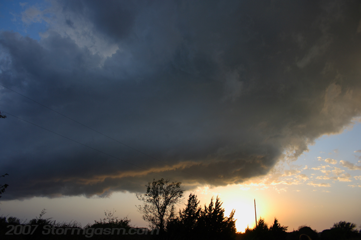
Storm was now beginning to weaken and was taking on elevated characteristics as it approached SR 99.
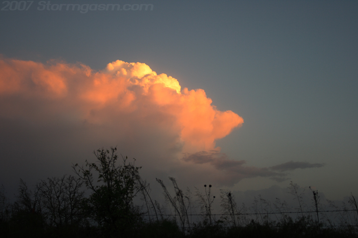
Our previous cell looked horrible, so we took some shots of a cell to our SE; notice the moon in the upper right-hand side of the pic.
Pretty alpenglow on the cell to our se. |
|


Home
| Storm Store | Photo
Gallery | Message
Board | Storm Chases | Latest
News
Stock Footage | About
| Contact | Editorial
| Weather Links
Copyright 2004 Stormgasm.com. All rights reserved.