![]()
|
Chase Summary: by Jim Bishop It's a week day, the first or second week of school, and I've just returned to the map room after trying to get my class schedule straight. My friend Sarah Jones was in there, looking at some data. She said, "Jim, you gotta check this out." There was a storm that had just passed over, and apparently it hailed. (In class at the time). Nevertheless, I knew something was going on. She showed me a mesoscale discussion from the SPC, talking about possible tornadic supercells developing along the dry line in north Texas in a couple hours! I went ape shit. Dewpoints were in the 60's, temps were in the 70's. It was January. Looking at satellite, radar, surface, ect., I was very excited. We waited 5 minutes for James to get out of class, and decided to go chasing. I went home, picked up Simon, met at Sarah's place, and we took off for north Texas. Going south on 377 near Pontotoc, OK (between Ada and Tishomingo), we saw an aticyclonic funnel! That was pretty wild. While on 377,we ended up running into a large storm somewhere near Tishomingo, OK. I believe it must have been somehwere north of Tishomingo, but I'm not sure. The storm had a nice elongated Forwar Flank gust front, and had supercell characteristics. |
 |
 |
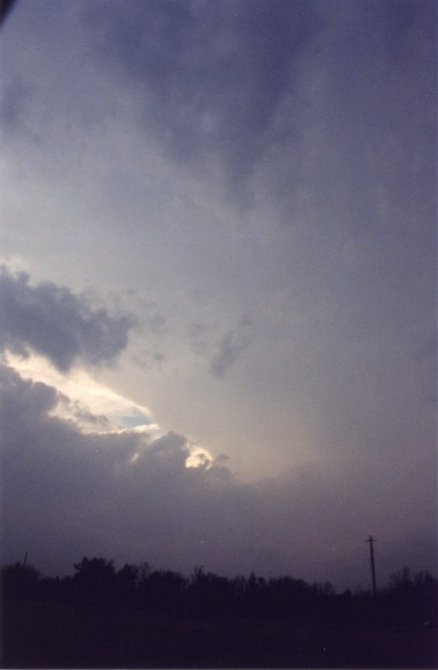 |
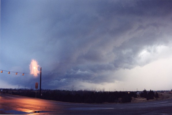
 Anvil to storm approaching Sherman, TX looking SW. |
 |
 |
|
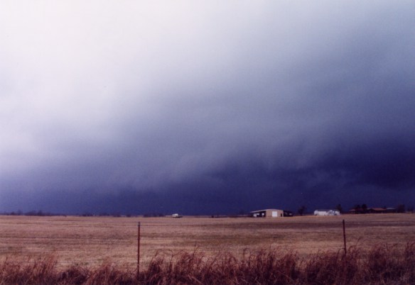
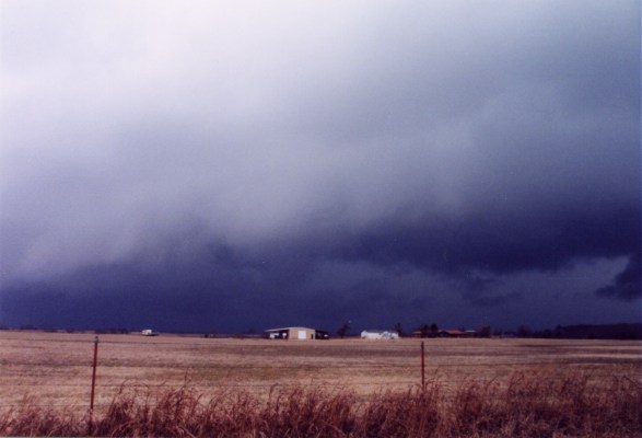
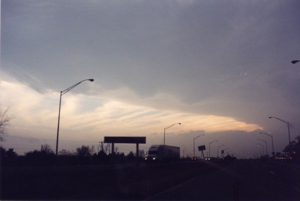
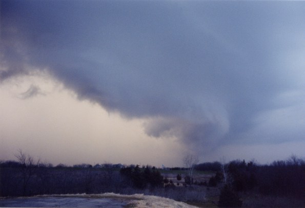
We saw a mean storm in Tishomingo, and looked at some internet data in Durant at Southeastern OK State University. Everything did not just form into a line. There were separate cells lined up into a few separate small line segments. The most intense looking cell was headed for Sherman, TX. So, that's where we went. Nothing special, mostly just ouflow dominant storms. Actually, after nightfall, heading back, we saw some great lighting in north texas at a Sonic. Hey, I wasn't complaining. Remember, it was January! So, anyone that says storms don't occur in Oklahoma in January, tell them they are dead wrong! Fact about the day: Because the speed shear was so intense, the few isolated cells that formed had elongated FFDs. Hence the impressive gust front we encountered before seeing the anticyclonic funnel. |
Home | Storm Store | Photo Gallery | Message Board | Storm Chases | Latest News
Stock Footage | About | Contact | Editorial | Weather Links
Copyright 2004 Stormgasm.com. All rights reserved